| Directions
This is a continuation of the hike along the Alder
Creek Falls.
|
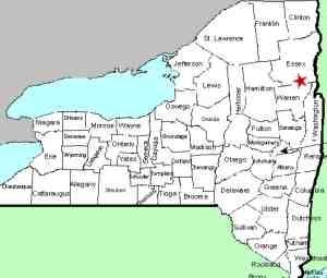
| County: |
Essex |
| Town: |
Schroon |
| USGS Map: |
Pharoah Mt. |
| Waterway: |
Alder Creek |
| Latitude: |
N 43° 51'
11" |
| Longitude: |
W 73° 40'
54" |
| Drop: |
6' |
| Type: |
Cascade |
| Region: |
East of
Schroon Lake village |
| Parking: |
Unpaved lot |
| Trail type: |
Dirt |
| Length of hike: |
1.0 mile
round-trip |
| Difficulty: |
Easy |
| Accessibility: |
Public |
| Name: |
Unnamed |
|
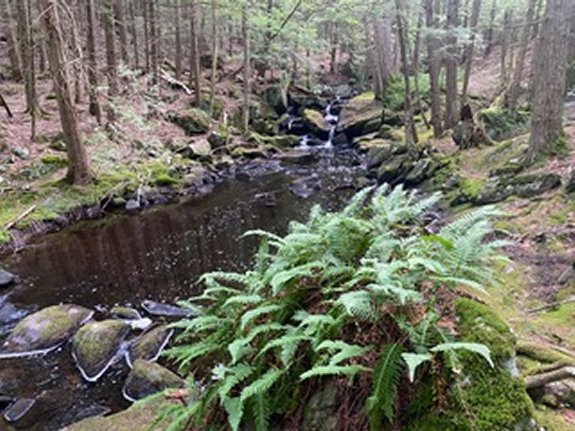
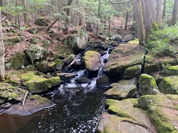
 You can see Falls #4 from the top of Falls #3.
Just work you way up the river left side of the
creek to get into position to view and.photograph
this 6' waterfall. You can see Falls #4 from the top of Falls #3.
Just work you way up the river left side of the
creek to get into position to view and.photograph
this 6' waterfall.
After you have seen Falls #4 you can return to your car for a
total hike of just over a mile or you can continue on to several
different destinations. We hiked to and along Goose Pond, which
was very beautiful, for a total hike of just over 4 miles.
Alder Creek flows into Schroon River.
This flows through Schroon Lake which joins the Hudson River
just southwest of Warrensburg. This, in turn, flows to the
Atlantic Ocean in New York City directly to Lake
Champlain.
Last update: September 25, 2026
|