Directions
This is a continuation of the hike to waterfalls on
the Big Hollow Branch. Please refer to the
entry for Big Hollow
Falls #1 for directions to that location. |
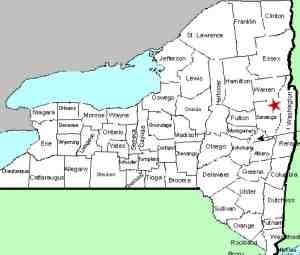
| County: |
Warren |
| Town: |
Lake George |
| USGS Map: |
Lake George |
| Waterway: |
Big Hollow
Branch |
| Latitude: |
N 43° 26' 14" |
| Longitude: |
W 73° 44' 28" |
| Drop: |
25' |
| Type: |
Slide |
| Region: |
Northwest of
Lake George village |
| Parking: |
Roadside |
| Trail type: |
Dirt |
| Length of hike: |
3.5 mi
round-trip for all 10 falls |
| Difficulty: |
Somewhat
strenuous |
| Accessibility: |
Public |
| Name: |
Unnamed |
|
From Falls #9, continue upstream on the
river left side for about 5 minutes to
reach Falls #10, the final falls in this
series. You may actually come across
what seemed like an old trail which will
make the going a little easier. Falls
#10 has a small 4' drop at the top
followed by a long slide for a total of
approximately 25' in height.
To
get back to your car you'll want to
utilize the road. From the top of the
falls head up the hill and to the right
at a bit of an angle and you should come
out on the road in less that 100 yards.
Take a right on the road to head
downhill for a little over a mile to get
back to your car.
Our thanks to Gary Dilmore for the photos and
information on this location.
Big Hollow Branch enters the English Brook at the north end of
the village of Lake George. This flows into Lake George,
which, in turn,
flows through La Chute into Lake Champlain. The flow then goes
north through Canada on the Richelieu River and empties into the
St. Lawrence River.Last update: November 4, 2026
|