Directions
This is a continuation of the hike to waterfalls on
the Big Hollow Branch. Please refer to the
entry for Big Hollow
Falls #1 for directions to that location. |
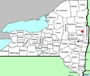
| County: |
Warren |
| Town: |
Lake George |
| USGS Map: |
Lake George |
| Waterway: |
Big Hollow
Branch |
| Latitude: |
N 43° 26' 17" |
| Longitude: |
W 73° 43'
46" |
| Drop: |
25' |
| Type: |
Slide to a
cascade |
| Region: |
Northwest of
Lake George village |
| Parking: |
Roadside |
| Trail type: |
Dirt |
| Length of hike: |
3.5 mi
round-trip for all 10 falls |
| Difficulty: |
Moderate |
| Accessibility: |
Public |
| Name: |
Unnamed |
|
From Falls #4, return to the road and turn left
to head uphill. In a very short distance there
will be a Y in the road. Big Hollow Road goes
off to the right. You want to stay to the
left and walk down the access road for about 100
yards. You will see the waterfall off to the
left.
Find a good place to scramble down
the embankment and enjoy this beautiful
waterfall. Falls #5 is a total of 25', not
counting the dam at the top. The upper portion
is a 15' slide, followed by an 8' drop and
finally a small cascade at the bottom.
Our thanks to Gary Dilmore for the photos and
information on this location.
Big Hollow Branch enters the English Brook at the north end of
the village of Lake George. This flows into Lake George,
which, in turn,
flows through La Chute into Lake Champlain. The flow then goes
north through Canada on the Richelieu River and empties into the
St. Lawrence River.Last update: November 4, 2026
|