Directions
This is a continuation of the hike to waterfalls on
the Big Hollow Branch. Please refer to the
entry for Big Hollow
Falls #1 for directions to that location. |
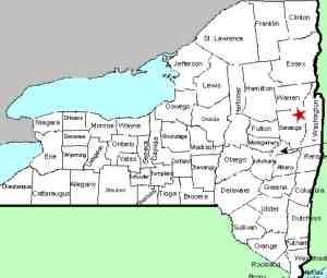
| County: |
Warren |
| Town: |
Lake George |
| USGS Map: |
Lake George |
| Waterway: |
Big Hollow
Branch |
| Latitude: |
N 43° 26' 14" |
| Longitude: |
W 73° 44'
06" |
| Drop: |
?' |
| Type: |
Cascade |
| Region: |
Northwest of
Lake George village |
| Parking: |
Roadside |
| Trail type: |
Dirt |
| Length of hike: |
3.5 mi
round-trip for all 10 falls |
| Difficulty: |
Somewhat
strenuous |
| Accessibility: |
Public |
| Name: |
Unnamed |
|
After viewing Falls #6, you'll need to walk
up the river left side of the falls to get
to Falls #7, which is right at the top of
Falls #6, just around the corner and out of
sight. I was able to carefully make my way
up, finding things to hang onto along the
way. If you decide this isn't for you, you
can work your way back up the hill on either
side of the brook and then work your way
back down to the brook, but you’ll miss
Falls #7.
If you do climb up the
side of #6, as soon as you get to the top an
peer around the corner you see that you are
at the base of #7. There isn’t much room to
stand for photos but I did find a place
where I was able to get these shots. After
taking your photos you can climb up to the
right to higher ground and walk parallel to
the brook for a short distance before
working your way back down to the brook to
continue on the Falls #8.
Our thanks to Gary Dilmore for the photos and
information on this location.
Big Hollow Branch enters the English Brook at the north end of
the village of Lake George. This flows into Lake George,
which, in turn,
flows through La Chute into Lake Champlain. The flow then goes
north through Canada on the Richelieu River and empties into the
St. Lawrence River.Last update: November 4, 2026
|