Directions
This is a continuation of the hike to waterfalls on
the Big Hollow Branch. Please refer to the
entry for Big Hollow
Falls #1 for directions to that location. |
| County: |
Warren |
| Town: |
Lake George |
| USGS Map: |
Lake George |
| Waterway: |
Big Hollow
Branch |
| Latitude: |
N 43° 26' 13" |
| Longitude: |
W 73° 44' 20" |
| Drop: |
40' |
| Type: |
Slide |
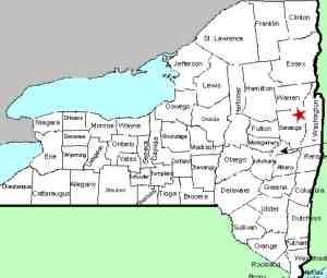
| Region: |
Northwest of
Lake George village |
| Parking: |
Roadside |
| Trail type: |
Dirt |
| Length of hike: |
3.5 mi
round-trip for all 10 falls |
| Difficulty: |
Somewhat
strenuous |
| Accessibility: |
Public |
| Name: |
Unnamed |
|
From the top of Falls #8, it is about a 5
minute hike to Falls #9. Stay on the
river left side. We had some downfall to
negotiate when we hiked in September 2026,
but it wasn't too bad.
Falls #9 is
another long slide with several sections
including a small 3' cascade at the top. You
cannot see the entire falls from the bottom
so make sure you work your way up along side
it to see the entire falls. It totals about
40' in height.
Our thanks to Gary Dilmore for the photos and
information on this location.
Big Hollow Branch enters the English Brook at the north end of
the village of Lake George. This flows into Lake George,
which, in turn,
flows through La Chute into Lake Champlain. The flow then goes
north through Canada on the Richelieu River and empties into the
St. Lawrence River.Last update: November 4, 2026
|