| Directions
In the village of Port Leyden, take East
Main Street from route 12. You will cross
the Black River in less than 1/4 mile.
The waterfall is on your left.
|
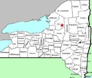
| County: |
Lewis |
| Town: |
Leyden/Lyonsdale |
| USGS Map: |
Port Leyden |
| Waterway: |
Black River |
| Latitude: |
N 43o 35'
00" |
| Longitude: |
W 75o 20' 26" |
| Drop: |
NA |
| Width: |
NA |
| Region: |
Southeast Lewis County |
| Parking: |
Roadside |
| Trail type: |
Dirt |
| Length of hike: |
less than 1 minute |
| Difficulty: |
Easy |
| Accessibility: |
Public |
| Name: |
Unnamed |
|
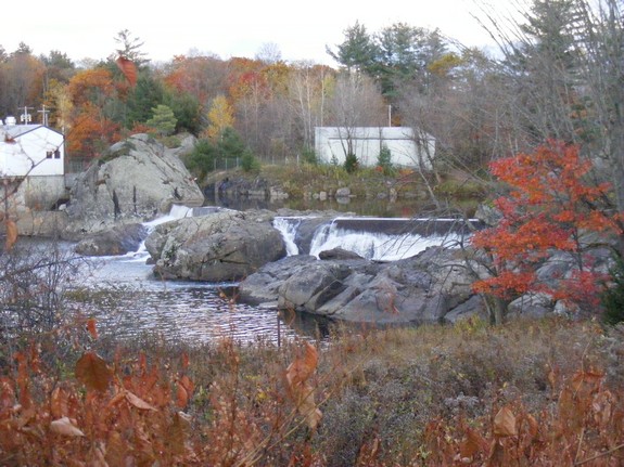
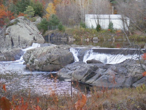
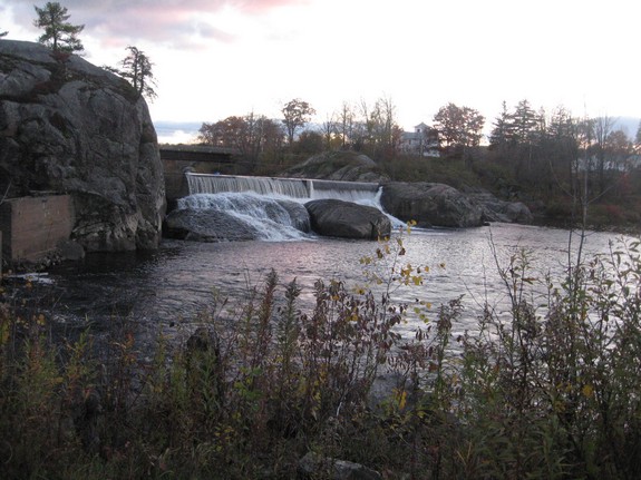
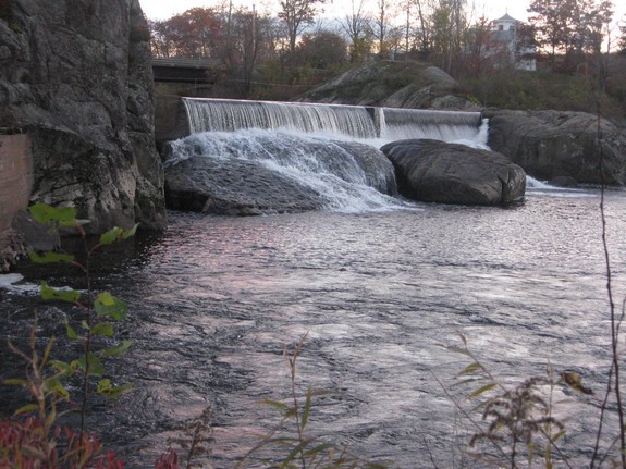
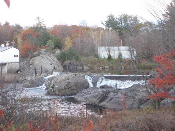
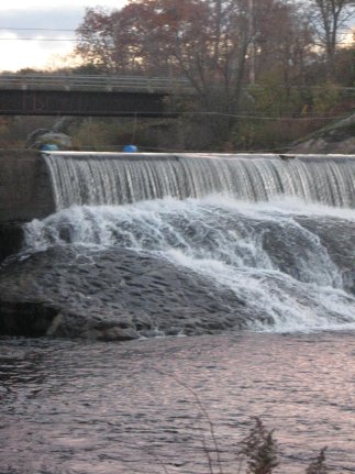
This area is easily found in the village of Port
Leyden. There is a power dam here, but there is a small waterfall
at its base. You can see the falls from both sides of the
river. on one side there is a small parking lot. on
the other side is a road but be careful of the posted signs.
The Black River flows into Lake Ontario in the village of Dexter
in Jefferson County.
Last update: July 29, 2015
|