| Directions
We have recently received pictures from a contributor
and are working on nailing down exact hike specifics.
|
| County: |
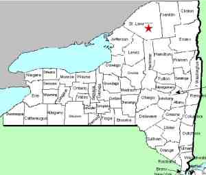
St. Lawrence |
| Town: |
Colton |
| USGS Map: |
Tooley Pond |
| Waterway: |
Blue Mountain Stream |
| Latitude: |
N 44o 21' 37" |
| Longitude: |
W 74o 53' 20" |
| Drop: |
15' approximate |
| Type: |
Cascade |
| Region: |
South of Canton |
| Parking: |
Roadside |
| Trail type: |
Bushwhack |
| Length of hike: |
NA |
| Difficulty: |
Moderate |
| Accessibility: |
Appears to be public |
| Name: |
Unnamed |
|
This site is indicated on topographical maps simply as "Falls". There are no trails or roads indicated in the area on
topographical maps.
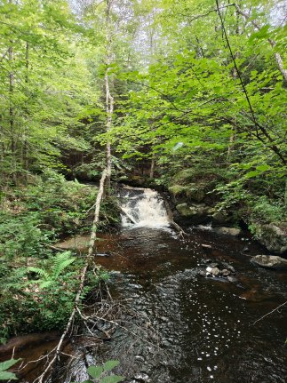
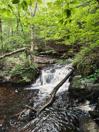
According to our contributor, it's a
small falls, maybe 15-20 feet. It appears to be on public
land ... At least it is not posted. It is pretty deep in the
woods on fairly rough roads. There is no trail to get there.
There is what appears to be the remnants of an old logging road
but nothing that can be followed. It is a pretty easy walk
through the woods though, maybe a 1 mile bushwack.This waterway is a tributary of the Middle Branch of the Grass River.
The Grass River flows into the St. Lawrence River in Massena, in
St. Lawrence County.
Our thanks to Brooks Oliver for the pictures of this
waterfall.
Last update: August 28, 2026
|