| Directions
From I-87, exit 22, take NY 9N north toward Bolton Landing.
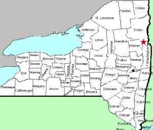
Six miles north of the village of Bolton Landing, the highway
will cross the Northwest Bay Brook. Just after crossing
the bridge, there is a parking area on the right.
|
| County: |
Warren |
| Town: |
Bolton |
| USGS Map: |
Silver Bay |
| Waterway: |
Clay Meadow Trail Creek |
| Latitude: |
N 43° 37' 39" |
| Longitude: |
W 73° 36'
02" |
| Drop: |
20' |
| Type: |
Ribbon cascade |
| Region: |
Off NY 9N north of Bolton Landing |
| Parking: |
Unpaved lot |
| Trail type: |
Dirt |
| Length of hike: |
0.5 mile |
| Difficulty: |
Moderate |
| Accessibility: |
Public |
| Name: |
Unnamed |
|
The parking area here only holds a dozen or so cars
and it is very possible that it may be full when you visit.
Simply continue a little further along the highway and there is
a dirt road leading into a parking lot. Note that this
is the same parking area for the Northwest Bay Brook Falls.
To reach the falls, continue back down the highway on foot until
you reach a trail on your left. This is the Clay Meadow Trail
head, although it doesn't say that. There are DEC markings
in the area and about 1000' in, you will come to a kiosk.
When you open that to sign in, there are items designating it as
the Clay Meadow Trail.
At about 0.17 mile in, you will come to a long wooden bridge.
At 0.31 mile, there will be a fork in the trail. You will
want to bear left here. If you were to go right, you will
see the falls from a distance downstream. Taking the left
branch will take you to the top of the falls where you can look
over the crest. About half-way between the fork and the top
(0.42 mile in), you can clearly hear the falls and you are advised
to head toward the creek. From this point, you can actually
get out on the boulders in the creek to take pictures of the upper
part. Use caution because the mist from the falls makes the
rocks wet and slippery.
The falls drop in about four steps, all either cascades or slides.
Information we have found lists this waterfall at 20', but we feel
that it is a bit taller than that. The upper two drops appear
to be about ten feet each.
For the past several years on this website, the creek
containing this drop has been referred to as "an unnamed creek
feeding Northwest Bay Brook". Since it is not the only
creek feeding Northwest Bay Brook, we have opted to try and
clarifying our cataloging by now calling it the Clay Meadow
Trail Creek. Please note that it is officially unnamed.
We are just trying to make our cataloging process a little less
confusing.
The creek containing this waterfall flows into the Northwest
Bay Brook. That empties into Lake George. The water
from this then flows through La Chute in Ticondaroga and ends up
in Lake Champlain. The flow then goes north through Canada
on the Richelieu River and empties into the St. Lawrence River.
Last update: September 26, 2026
|