| Directions
This is a continuation of the hike along Clay Meadow
Trail. Please refer to the directions for
Clay Meadow
Trail Falls.
|
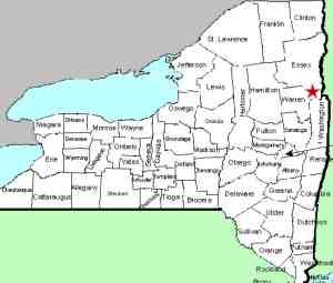
| County: |
Warren |
| Town: |
Bolton |
| USGS Map: |
Silver Bay |
| Waterway: |
Clay Meadow Trail Creek |
| Latitude: |
N 43° 37' 36" |
| Longitude: |
W 73° 35'
58" |
| Drop: |
12' |
| Type: |
Two-part cascade |
| Region: |
Off NY 9N north of Bolton Landing |
| Parking: |
Unpaved lot |
| Trail type: |
Dirt |
| Length of hike: |
0.7 mile
one-way |
| Difficulty: |
Moderate |
| Accessibility: |
Public |
| Name: |
Unnamed |
|
We have recently been made aware of at least nine drops upstream
from Clay Meadow Trail Falls.
From the top of Clay Meadow Trail Falls, continue upstream.
In order to see
Clay Meadows Trail Upper Falls #1 through #9, you will be off trail
for about a mile. You will never be more that 100 yards
from the trail, which will be off to the left the entire
time, but there are times you will feel like you are in the
middle of nowhere.
You'll have a section of downfall to
deal with and you'll need to make several stream crossings
along the way. Just keep following the stream and after a
mile of off trail hiking, and viewing 9 waterfalls, you will
be back on the trail for the return back to your car.
My
entire hike was just over 4 miles and 1,200' of elevation.
You are going to pass several additional small cascades and
water features along the way so enjoy those too.
While the
water flow was low when we went, the moss was quite
prominent and added a lot of character to the landscape as
you will see in some of the photos.
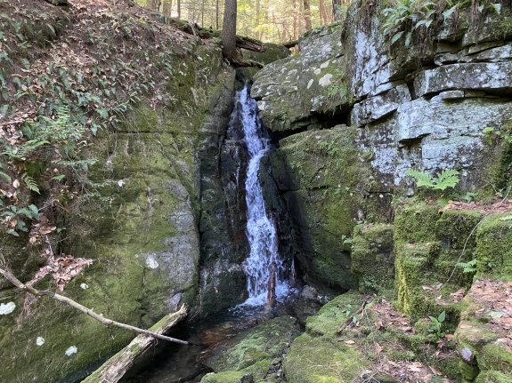
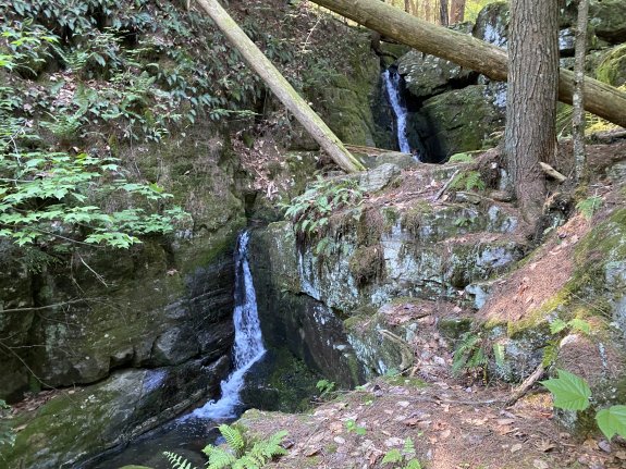
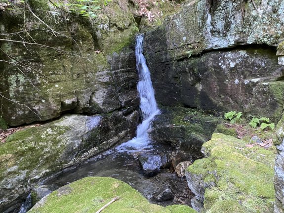
From the top of Clay Meadows Trail Falls, follow the stream
for 0.2 mile to the first upper falls. This is a 12' two
part beauty, one of my favorites on this hike. The lower
section is about 5' and the upper sections about 7'.
Our thanks to Gary Dilmore for the photos and information about
this waterfall location.
The creek containing this waterfall flows into the Northwest
Bay Brook. That empties into Lake George. The water
from this then flows through La Chute in Ticondaroga and ends up
in Lake Champlain. The flow then goes north through Canada
on the Richelieu River and empties into the St. Lawrence River.
Last update: September 28, 2026
|