| Directions
Follow CR 2 to the Hamlet of Ironville NY, just
outside of Crown Point. Depending on the direction
you are coming from, turn onto Peasley Road and
follow the road for about 100 yards. There is a
small lot on the right side just before the bridge
over Putnam Creek. AllTrails lists the address as
Old Iron/Penfield Pond Trailhead. Park here.
|
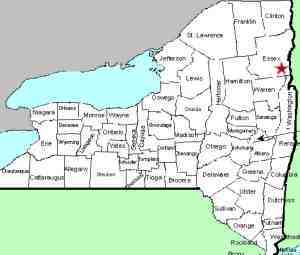
| County: |
Essex |
| Town: |
Crown Point |
| USGS Map: |
Eagle Lake |
| Waterway: |
Putnam Creek |
| Latitude: |
N 43° 55' 22" |
| Longitude: |
W 73° 31' 55" |
| Drop: |
30' estimate |
| Type: |
Cascade |
| Region: |
West of Crown
Point |
| Parking: |
Unpaved lot |
| Trail type: |
Dirt/rock/grass |
| Length of hike: |
Roadside |
| Difficulty: |
Easy |
| Accessibility: |
Private |
| Name: |
Unnamed |
|
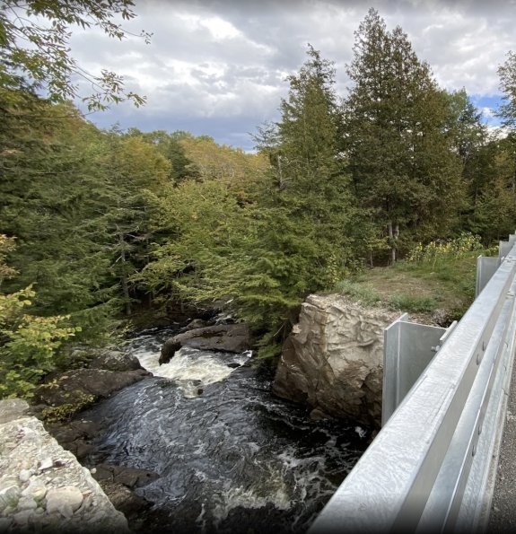
From the parking lot, walk to the bridge and look
downstream, to your left over the bridge.
You will see the water disappear over a ledge, between two large
boulders.
We have dubbed this Peasley Road
Falls because of its location. Unfortunately, we
are looking over the crest so we can't appreciate the
full effect of this drop. It is posted as private property on
both sides of the creek and a house is nearby so we did
not attempt to investigate further. The roadside
view is public, but we are assuming that the waterfall
itself is on private property.
It is our
intention to get to this location in the future with our
drone to attempt to get downstream views of it.
Our picture here was provided by AllTrails. It is
our understanding that credit for the source was not
given so this is considered public domain. If we
find out otherwise, we will remove the photo.
Putnam Creek flows directly to Lake Champlain. Its
outlet is in the region of Gilligans Bay, just east of Crown
Point
Last update: September 25, 2026
|