| County: |
Essex |
| Town: |
Crown Point |
| USGS Map: |
Crown Point |
| Waterway: |
Putnam Creek |
| Latitude: |
N 43°
56' 27" |
| Longitude: |
W 73°
28' 16" |
| Drop: |
5' |
| Type: |
Traditional cascade |
| Region: |
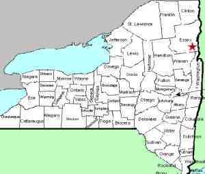
Off NY 22/9N north
of the hamlet of Ticonderoga |
| Parking: |
Roadside shoulder |
| Trail type: |
Dirt/rock/grass |
| Length of hike: |
<0.1 mile,
1 minute |
| Difficulty: |
Moderate |
| Accessibility: |
Public, much is
private |
| Name: |
Common |
|
As mentioned in the entry for Stair Falls, we used to list
this entire region as one entry. We recently decided that
since there are three distinct drops here, it warranted
separating them.
After viewing Stair Falls, walk back to the corner and go to the
bridge. Upstream another 150 feet or so is another small waterfall.
This one only drops about 4 or 5 feet. We are referring to
this drop as Stair Upper Falls. Property
surrounding this has been posted so please enjoy this view from
the bridge.
After visiting this location, make your way to Stair Falls Cascades.
Putnam Creek is probably one of the smaller waterways containing
a waterfall that flows directly into the main outlets of northern
New York. The main falls is only about three miles from the
outlet to Lake Champlain.
Last update: September 21, 2026
|