| Directions
This waterfall is a continuation of the hike heading
upstream on Shelving Rock Brook South Tributary,
|
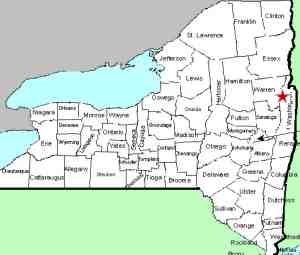
| County: |
Washington |
| Town: |
Fort Ann |
| USGS Map: |
Shelving Rock |
| Waterway: |
Shelving Rock
Brook Tributary |
| Latitude: |
N 43° 32'
05" |
| Longitude: |
W 73° 34'
45" |
| Drop: |
~25' |
| Type: |
Cascade |
| Region: |
Off NY 149
west of Fort Ann |
| Parking: |
Unpaved |
| Trail type: |
Dirt |
| Length of
hike: |
NA |
| Difficulty: |
Fairly
intense |
| Accessibility: |
Public |
| Name: |
Unnamed |
|
Continue upstream from Shelving Rock Brook South Tributary Falls
#12 until you reach this drop.
Please note that the
contributor who provided this information actually made this
hike at a later time than the information provided from the
previous drops on the South Tributary of Shelving Rock Brook.
Therefore, we are going to provide complete details of this hike
from start to finish.
Driving directions:
Following Shelving Rock Road, once you reach the Hog Town
Trailhead Parking, Shelving Rock Road takes a sharp left turn.
From this turn, travel on Shelving Rock Road 1.2 miles. There
will be parking areas on both sides of the road just before the
road crosses over the South Tributary. Parking on the left side
is for Campsite 11 so it is best to park one the right side. |
 Upper
Section Upper
Section
Lower Section |
This is an off trail adventure and should only be attempted
by hikers experienced in hiking off-trail. There are
several side tributaries so having GPS tracking is very
helpful to keep track of where you are. While you are never
more than a half mile form a trail, I can pretty much
guarantee you won't see anyone else while you are on this
adventure. Start on the south side of the road, facing
upstream on the left side of the stream and drop down from
the road. The stream splits twice within a short distance.
Stay to the left at the first split and then you'll want to
follow the second split to the right, which means you'll
have to cross the stream you have been following. If you
have a map that happens to show three streams, you should be
on the middle one, which had the heaviest flow of the three
when I hiked it. I stayed on the left side of the stream
most of the way up, but did cross back and forth a few
times. There was a muddy hillside I had to traverse and
lots of downfall but overall it wasn't too bad. You will
pass several small water features along the way. At 9/10 of
a mile from the parking lot, you will reach the waterfall.
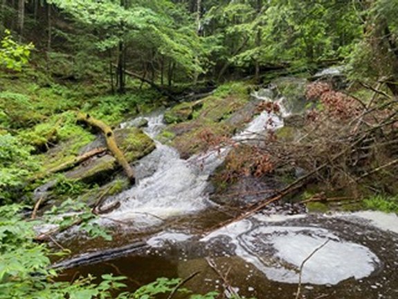
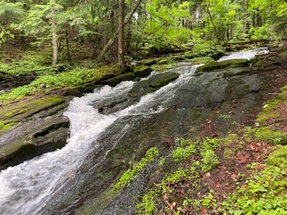
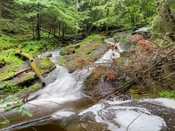
This waterfall is a total of 20-25' tall falling into a
large pool at the base which prevented me from getting into
a good position to photograph the entire drop.
Shelving Rock Brook empties into Lake George. The water
from this then flows through La Chute into Lake Champlain.
The flow then goes north through Canada on the Richelieu River and
empties into the St. Lawrence River.
Webmaster's note: Our thanks to Gary Dilmore for the
pictures, directions and information on this waterfall.
Last update: September 20, 2026
|