| Directions
This waterfall is a continuation of the hike heading
upstream on Shelving Rock Brook South Tributary,
|
| County: |
Washington |
| Town: |
Fort Ann |
| USGS Map: |
Shelving Rock |
| Waterway: |
Shelving Rock
Brook Tributary |
| Latitude: |
N 43° 31'
30" |
| Longitude: |
W 73° 34'
40" |
| Drop: |
~50' |
| Type: |
Cascade |
| Region: |
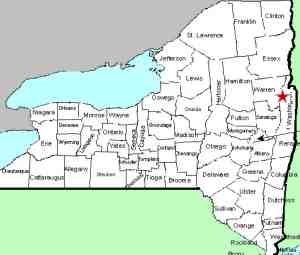
Off NY 149
west of Fort Ann |
| Parking: |
Unpaved |
| Trail type: |
Dirt |
| Length of
hike: |
NA |
| Difficulty: |
Fairly
intense |
| Accessibility: |
Public |
| Name: |
Unnamed |
|
|
From the top of Shelving Rock Brook South Tributary
Falls #13, continue upstream for approximately 1
mile to reach #14. As usual, along the way you will
pass several small cascades.
Approximately
2/10 of a mile upstream from the top of #13 the
stream will split, stay to the left. A very short
distance after that, the stream splits again, this
time stay to the right and continue to the base of
#14.
|
 |
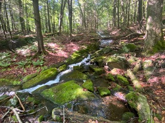
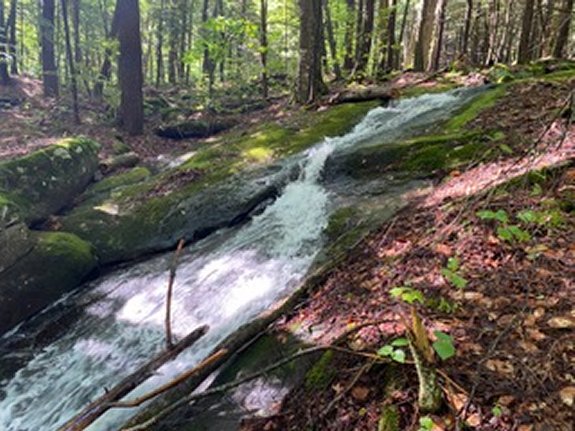
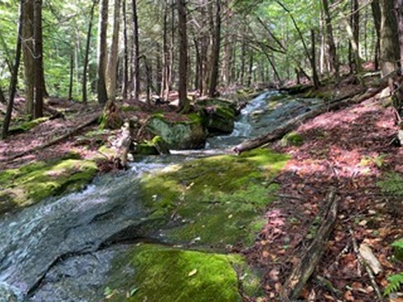
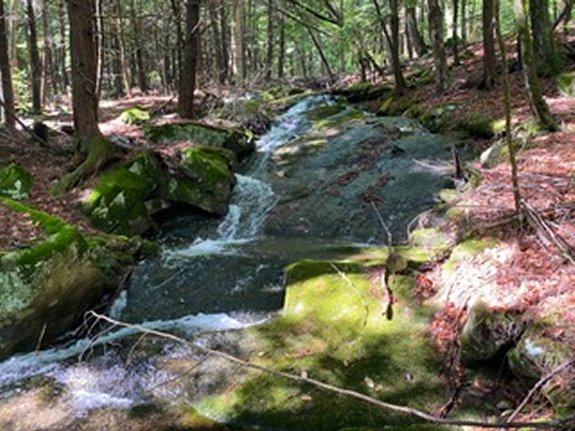
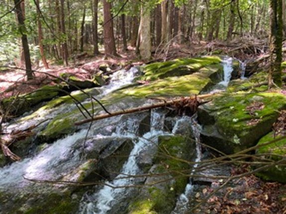
SRB South Tributary #14 is the kind of
waterfall that seems to just keep going. It is a
very long cascade with a total drop of 40-50’. There
are several sections and you won’t be able to get it
all in one photo. Just keep hiking up along side
the brook and enjoy the views.
After making it to the top it’s time to return
to your car. You could retrace your steps but it
is easier to continue upstream for about 3/10 of a
mile to where the stream intersects with the Buck
Mountain Trail. Turn left on the trail and hike 1.3
miles to Shelving Rock Road, then turn left on the
road and hike 8/10 of a mile back to the parking
lot.
Shelving Rock Brook empties into Lake George. The water
from this then flows through La Chute into Lake Champlain.
The flow then goes north through Canada on the Richelieu River and
empties into the St. Lawrence River.
Webmaster's note: Our thanks to Gary Dilmore for the
pictures, directions and information on this waterfall.
Last update: September 20, 2026
|