| Directions
This drop is just below Schumann Preserve Waterfall.
|
| County: |
Washington |
| Town: |
Fort Ann |
| USGS Map: |
Putnam Mt |
| Waterway: |
Unnamed
waterway |
| Latitude: |
N 43°
27' 53.848" |
| Longitude: |
W 73° 36'
42" |
| Drop: |
20' |
| Type: |
Cascade |
| Region: |
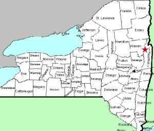
Off NY 149
west of Fort Ann |
| Parking: |
Unpaved parking
area |
| Trail type: |
Dirt |
| Length of
hike: |
0.6 mile,
one-way |
| Difficulty: |
Vigorous |
| Accessibility: |
Public |
| Name: |
Unnamed |
|
This unnamed drop is about 40 yards downstreamfrom the the Schumann Preserve
Waterfall. We are dubbing it the Schumann Lower
Falls for the sake of cataloging it.
This is a continuous
cascade, in the 15-20' range for total drop. It wasn't
possible to get a single photo which included the entire
span so separate pics were taken working our way
downstream
Facing downstream, walk down the right
side of the stream from the base of Schumann Preserve
Waterfalls. You will need to swing a little wide
to the right to find the path of least resistance.
You'll see the beginning of the falls and can scramble
down to the stream in a few different locations to get
good photos.
This unnamed stream empties into Lake George at Warner Bay. The water
from this then flows through La Chute into Lake Champlain.
The flow then goes north through Canada on the Richelieu River and
empties into the St. Lawrence River.
Webmaster's note: Our thanks to Gary Dilmore for the
information and pictures of this location.
Last update: September 4, 2026
|