| Directions
This drop is located a short distance upstream from
Schumann Preserve Waterfall. From the base of
that drop, continue on the Blue loop trail for
approximately 300 yards until you reach the stream
crossing at the top of Schumann Preserve Waterfall.
|
| County: |
Washington |
| Town: |
Fort Ann |
| USGS Map: |
Putnam Mt |
| Waterway: |
Unnamed
waterway |
| Latitude: |
N 43°
27' 54" |
| Longitude: |
W 73° 36'
41" |
| Drop: |
6' |
| Type: |
Step Cascade |
| Region: |
Off NY 149
west of Fort Ann |
| Parking: |
Unpaved parking
area |
| Trail type: |
Dirt |
| Length of
hike: |
0.7 mile,
one-way |
| Difficulty: |
Vigorous |
| Accessibility: |
Public |
| Name: |
Unnamed |
|
Continue upstream about 30 yards from the point noted in
the directions side-bar. If the water is running,
you will see it from the trail. Continue on your
right side of the stream to reach Upper Falls #1.
Like all the drops in the Schumann Preserve, this one is not
named. We are calling it the Schumann Upper Falls for the sake of cataloging it.
To hike to Schumann Upper Falls #1, from the base of
Schumann Preserve Waterfalls continue on the loop
trail for approximately 300 yards until you reach
the stream crossing at the top of Schumann Preserve
Waterfalls. Upstream about 30 yards is Upper Falls
#1. If the water is running you will see it from the
trail. We went up the right side of the stream to
reach the falls, it was very easy to reach.
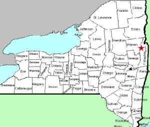
This unnamed stream empties into Lake George at Warner Bay. The water
from this then flows through La Chute into Lake Champlain.
The flow then goes north through Canada on the Richelieu River and
empties into the St. Lawrence River.
Please note that the coordinates listed here are
approximates.
Webmaster's note: Our thanks to Gary Dilmore for the
information and pictures of this location.
Last update: July 17, 2026
|