Directions
This is a continuation of the hike in the Lake
George Recreation Area, from
West Brook Falls.
|
| County: |
Warren |
| Town: |
Lake George |
| USGS Map: |
Lake George |
| Waterway: |
West Brook |
| Latitude: |
N 43° 24'
28" |
| Longitude: |
W 73° 44'
30" |
| Drop: |
5' |
| Type: |
Step |
| Region: |
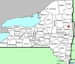
Southwest of
Lake George village |
| Parking: |
Parking lot |
| Trail type: |
Dirt |
| Length of hike: |
1.0 mi one-way |
| Difficulty: |
Moderate |
| Accessibility: |
Public |
| Name: |
Unnamed |
|
From the top of West Brook Falls, continue on
the main trail remembering to follow the Blue
Medallions Along the way you will cross over
West Brook on a footbridge, which will put West
Brook on your left. About 0.2 miles from the
footbridge you will notice a fairly obvious side
path on the left, take this path about 100 yards
to West Brook Upper Falls #1 which is 5' tall.
After viewing the falls you can either
retrace your steps back to the main trail or
just walk upstream for a bit and you will end
out back on the trail. It's a fairly easy walk
through the woods and there are some nice water
features along the way.
Our thanks to
Gary Dilmore for the photos and information on
this location.
West Brook empties into Lake George. The water from this then
flows through La Chute into Lake Champlain. The flow then goes
north through Canada on the Richelieu River and empties into the
St. Lawrence River.Last update: October 31, 2026
|