| County: |
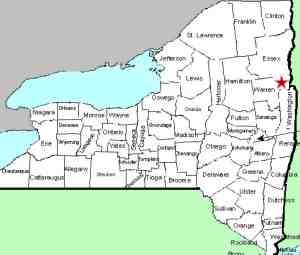
Warren |
| Town: |
Bolton |
| USGS Map: |
Silver Bay |
| Waterway: |
Clay Meadow Trail Creek |
| Latitude: |
N 43° 37' 33" |
| Longitude: |
W 73° 35' 23" |
| Drop: |
8' |
| Type: |
Cascade |
| Region: |
Off NY 9N north of Bolton Landing |
| Parking: |
Unpaved lot |
| Trail type: |
Dirt |
| Length of hike: |
1.8 mile
one-way |
| Difficulty: |
Moderate |
| Accessibility: |
Public |
| Name: |
Unnamed |
|
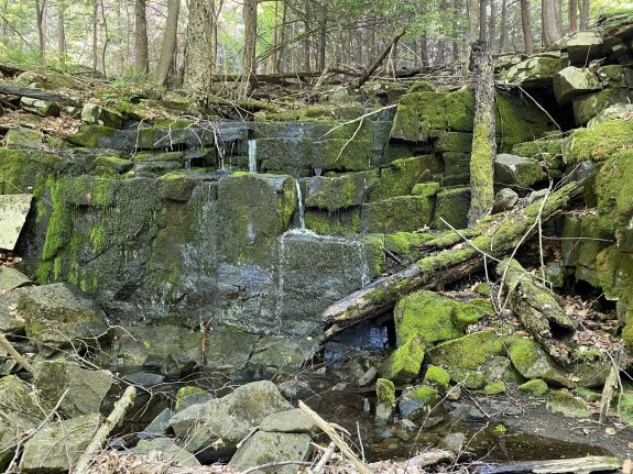
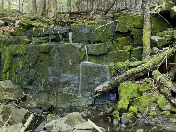
From the top of Clay Meadow Upper Falls #7, it is about
a 4 minute hike to Clay Meadow Upper Falls #8, an 8'
falls.
Our thanks to Gary Dilmore for the photos and information about
this waterfall location.
The creek containing this waterfall flows into the Northwest
Bay Brook. That empties into Lake George. The water
from this then flows through La Chute in Ticondaroga and ends up
in Lake Champlain. The flow then goes north through Canada
on the Richelieu River and empties into the St. Lawrence River.Last update: October 2, 2026
|