Directions
This is a continuation of our hike to the waterfalls
on English Brook. Please access this region by
following the directions on our entry for
English Brook Lower Falls. |
| County: |
Warren |
| Town: |
Lake George |
| USGS Map: |
Lake George |
| Waterway: |
English Brook |
| Latitude: |
N 43° 27' 48" |
| Longitude: |
W 73° 45' 45" |
| Drop: |
10' |
| Type: |
Cascade |
| Region: |
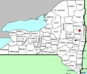
Northwest of
Lake George village |
| Parking: |
Roadside |
| Trail type: |
Dirt |
| Length of hike: |
0.9
one-way |
| Difficulty: |
Easy |
| Accessibility: |
Public |
| Name: |
Unnamed |
|
After viewing the lower falls, continue
up the road for another 0.3 miles to the
middle falls which is easily viewed from
the roadside. In this area, there were
No Trespassing signs and there were also
signs that stated it was a Public
Fishing Stream.
This is a fairly
typical situation where the DEC has an
agreement with landowners that fishermen
can access the stream with fishing as
their focus. We have joked in the
past that if you simply want to view a
waterfall in a region such as this, take
a fishing pole and tackle box with you
and you should be good to go. Be
forewarned that this is a joke. We
do not know of the idea having been
tested!
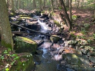
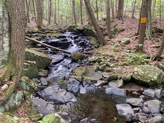
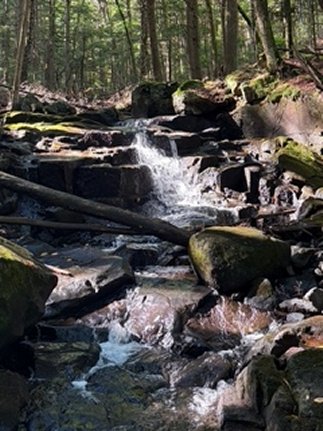
Anway, scramble down the
short embankment, no more than 10' from
the road, to take some photos. The
Middle Falls is a cascade with a 10'
drop.
Our thanks to Gary Dilmore for the photos and
information on this location.
English Brook is at the north end of
the village of Lake George. This flows into Lake George,
which, in turn,
flows through La Chute into Lake Champlain. The flow then goes
north through Canada on the Richelieu River and empties into the
St. Lawrence River.Last update: November 4, 2026
|