| Directions
Take the Belfort Road from the village of Croghan to
Belfort. As you approach Belfort, continue on the
Effley Falls Road. At some point, the Effley Falls
Road actually turns left. You want to continue
straight here onto the Hogsback Road. This will end at the Soft Maple
Road where you should turn left. In the area of Soft
Maple, turn left on the Beaver River Road. Knowing
that this is the name won't help you because it isn't
labeled. There is a sign here indicating the Adsit
Trail. Another marker here is a dead end sign on
the road you turned off from. You will pass the
Soft Maple Hydro Plant on this unpaved road and,
eventually, will
cross a bridge by the Soft Maple Development Area Campground.
From this point, continue about 1.7 miles where there will
be a dirt road on the left. You will be parallel to
a penstock on your left. Follow this until you come
to a small parking area on the right.
|
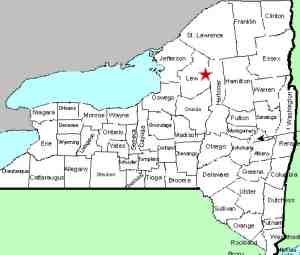
| County: |
Lewis |
| Town: |
Watson |
| USGS Map: |
Stillwater |
| Waterway: |
Beaver River |
| Latitude: |
N 43o 54' 19" |
| Longitude: |
W 75o 11' 48" |
| Drop: |
12' |
| Type: |
Slide into a
Rectangular Block |
| Region: |
East of Croghan |
| Parking: |
Unpaved lot |
| Trail type: |
Dirt |
| Length of hike: |
5 minutes |
| Difficulty: |
Easy |
| Accessibility: |
Public |
| Name: |
Official |
|
 Note
that this location is only about two miles beyond the Scenic
Overlook Falls. Directly across from this parking area there is a set of wooden
stairs leading down and under the penstock. From there, turn
right and head upstream. You will come to a point where you
can access the river just below the falls. Note
that this location is only about two miles beyond the Scenic
Overlook Falls. Directly across from this parking area there is a set of wooden
stairs leading down and under the penstock. From there, turn
right and head upstream. You will come to a point where you
can access the river just below the falls.
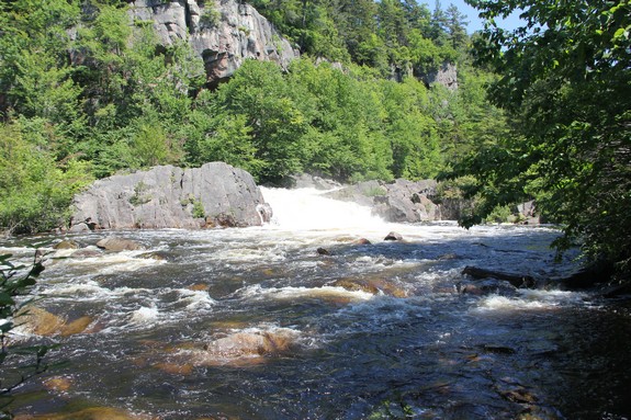
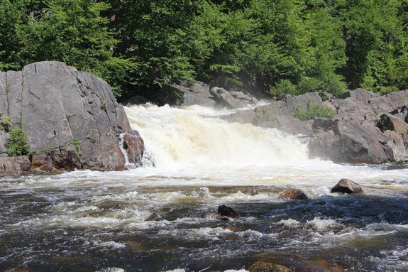
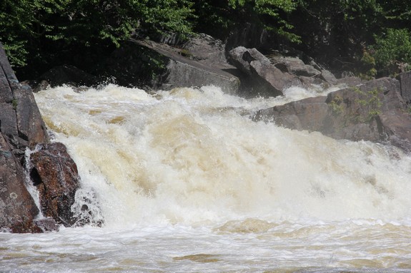
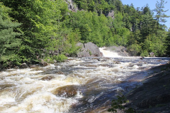
The top area of the falls slide down to a point where the river
makes an abrupt left and over a cascade. At the base of this,
the river makes another turn, this time to the right and the next
several hundred feet are rapids. In fact, this is a fairly
popular whitewater kayaking area.
We are pleased to announce that we received an email on May 30,
2017, notifying us that our application had been approved by the
US Board on Geographic Names, and the name of this waterfall has
been added to the Geographic Names Information System (GNIS).
The Beaver River flows
into the Black River, which empties into Lake Ontario at the Black
River Bay, just southwest of the village of Dexter.
Last update: June 13, 2017
|