|
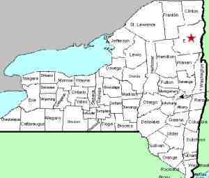
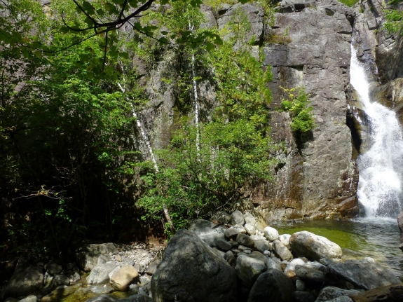
This waterfall is labeled on topographical maps
as "Falls". This area is in the shadows of Giant
Mountain, one of the Adirondack's High Peaks, off NY 73.
Topo maps show Beede Brook, the outlet of Chapel Pond, flowing
through the Keene Valley. Since the inlet of this pond isn't
labeled, one would assume it is a continuation of Beede Brook, but
several on-line sources call it Dipper Brook. Dipper is a
smaller pond, less than a mile east of Chapel Pond. Bing Maps
do not identify it but Google Maps do call it Beede Brook so we
have gone that route.
Our thanks to Mike Arthur of the website
www.offonadventure.com
for providing us with pictures and access information. Please
note that there is a degree of bushwhacking necessary to get to
this location.
"I parked near Chapel Pond at the Zander Scott Ridge Trail for Giant, only
instead of taking the trail, I began bushwhacking the right
side of the drainage just east of the ridge trail."
Mike told us in a later email that he walked a few hundred yards
east from the parking area/trailhead, where he "went into
the woods on the east side of the drainage leading to the falls."
"I encountered a faint herd path on and off. No doubt others had done
this same trek. The grade was relatively steep, but the
bushwhacking was not a problem.
"It was a 0.6 mile hike to the falls, with an elevation gain of about 500 feet.
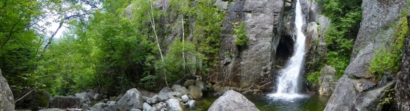
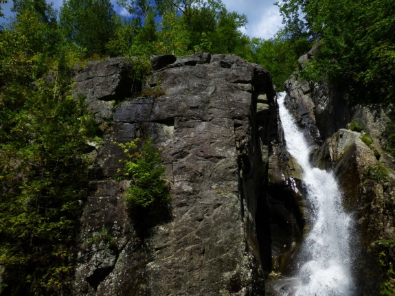
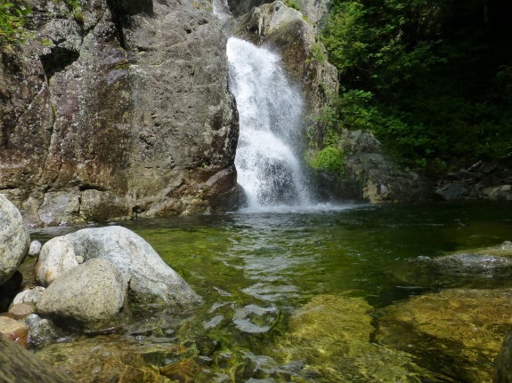
The falls lies in a deep ravine so some care is needed
getting down in there. It is worth it. The falls
is spectacular and there is a great swimming hole at the base
for those that like cold water! It's amazing how remote
this spot felt even though it is so close to the road."
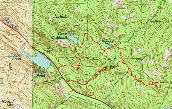
The last graphic in the array shows the route Mike took to get
to this waterfall. Please note that he exited the area by
bushwhacking to the Zander Scott Trail. For those interested
in only the falls, it would be much quicker and more direct to exit
by re-tracing your route in. If anyone has any pictures or
information on this waterfall, we would be very interested in
hearing from
you.
The Beede Brook flows through Chapel Pond and then continues
into the East Branch of the Ausable River. The East Branch
and the West Branch join forces downstream at Au Sable Forks to
form the Ausable River. This waterfall rich river empties
into Lake Champlain in the town of Peru.
Last update: July 28, 2015
|