| Directions
This site is right on the Erie Canal Road which runs
north-south from the town of Croghan, through New Bremen
and into the town of Watson on the eastern side of the county.
About half way between the intersection of the Kirschnerville
Road in the hamlet of Kirschnerville and the Number Four
Road at Crystal Dale, you will cross two bridges which are
very close to one another. The waterfall is at this
point.
|
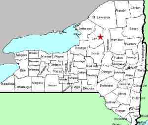
| County: |
Lewis |
| Town: |
New Bremen |
| USGS Map: |
Crystal Dale |
| Waterway: |
Black Creek |
| Latitude: |
N 43o 51'
03" |
| Longitude: |
W 75o 20' 14" |
| Drop: |
~25' |
| Type: |
Slide |
| Region: |
East of Lowville |
| Parking: |
Roadside |
| Trail type: |
Dirt |
| Length of hike: |
1 minute |
| Difficulty: |
Easy |
| Accessibility: |
Private |
| Name: |
Unnamed |
|
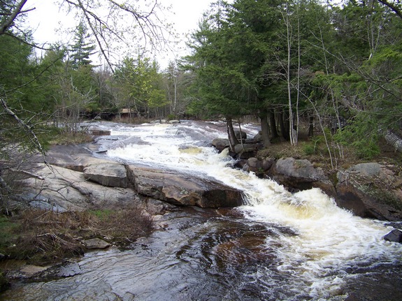
 This location is not noted on USGS topographical
maps, but is a very interesting and pretty area. Also unnamed,
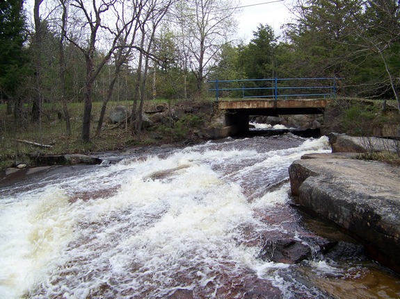
we have dubbed this the Twin Bridges Falls because it is at an area
known locally as Twin Bridges. This location is not noted on USGS topographical
maps, but is a very interesting and pretty area. Also unnamed,
we have dubbed this the Twin Bridges Falls because it is at an area
known locally as Twin Bridges.
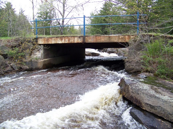
You must be looking to locate these bridges because they
don't have the standard bridge warning signs like big rails at
the sides or overhead metalwork. These are two very short
paved metal base bridges with blue pipes as railings.
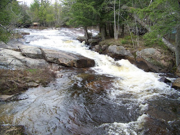
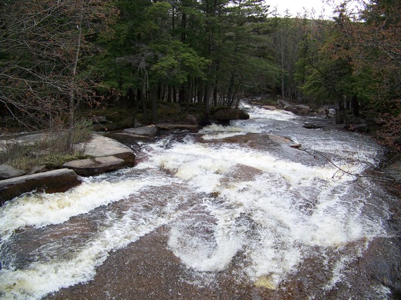
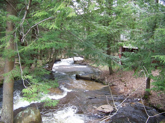
Just upstream from these bridges, the creek flows around an island
containing a private camp. Just downstream, the northern,
larger channel divides around another island. Part of this
then joins the southern channel before they come together below
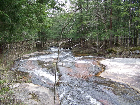
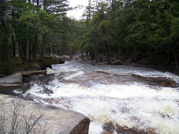
this island. A purist would probably categorize this as a
rapids rather than a waterfall. Although there is a considerable
vertical drop, it spans a significant distance of the creek.
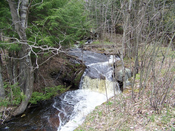
Due to the vertical drop, we are including this and would call it
a slide waterfall. There are several drops here and it somewhat
resembles a natural waterslide. The nicest of the drops is
easily viewable from the highway on the upstream side on the
northern channel.
Although this section has not been posted on our visits, your viewing here should be restricted to the highway
right-of-way as this is on private property.
The Black Creek flows into the Beaver River just downstream from
the village of Croghan. In fact, the creek actually flows
through a corner of the village before joining the Beaver.
The Beaver then joins the Black River just east of the hamlet of
Castorland. The Black River joins Lake Ontario just west of
Watertown in Dexter, New York.
Last update: June 13, 2017
|