| Directions
This drop is located just downstream from the
officially named Crandall Falls.
|
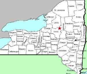
| County: |
Oneida |
| Town: |
Remsen/Forestport |
| USGS Map: |
Forestport |
| Waterway: |
Black River |
| Latitude: |
N 43o 23'
51" |
| Longitude: |
W 75o
08' 17" |
| Drop: |
12' |
| Type: |
Segmented |
| Region: |
Southeast of Forestport |
| Parking: |
NA |
| Trail type: |
NA |
| Length of hike: |
NA |
| Difficulty: |
NA |
| Accessibility: |
Private |
| Name: |
Unnamed |
|
 About 200' downstream
from Crandall Falls there is another drop. From Crandall,
you are looking over the crest of it. About 200' downstream
from Crandall Falls there is another drop. From Crandall,
you are looking over the crest of it.
This waterfall is only accessible by water or through private
property. Since our original posting of Crandall Falls,
the owners of this land downstream found the entry and
contacted us. As a result, we were permitted access to
take pictures. Please realize that this is private
property and respect the rights of the landowner. It
should also be noted that, as of 2019, the owner who invited us
to visit their property now has the property listed for sale.
They have told us that this waterfall does not have a name.
We have dubbed it the Crandall Lower Falls because of its
location.
The Black River empties into Lake Ontario at the Black River
Bay, just southwest of the village of Dexter.
Last update: June 18, 2019
|


