| Directions
From I-87 exit 30, take US 9 north. From
the 9/73 intersection, travel a little less than 3 miles
and you will come to the Round Pond Trail parking area.
Park here.
|
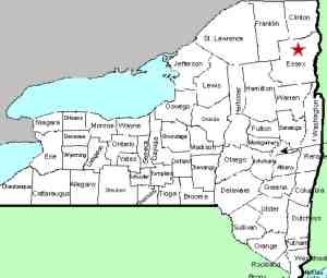
| County: |
Essex |
| Town: |
Keene |
| USGS Map: |
Keene |
| Waterway: |
Boquet River, North Fork |
| Latitude: |
N 44o 08'
00" |
| Longitude: |
W 73o 43'
57" |
| Drop: |
NA |
| Type: |
Ribbon cascade |
| Region: |
NY 73 between Keene and I-87 |
| Parking: |
Unpaved lot |
| Trail type: |
Dirt |
| Length of hike: |
<0.1 mile |
| Difficulty: |
Easy |
| Accessibility: |
Public |
| Name: |
Unnamed |
|
Just past the parking area, the highway crosses the Boquet
River. For a short distance beyond that, the river
parallels the highway on the other side of the road and then
makes a sharp bend and up the hill.
This waterfall is a short distance in from the road.
We have used this name for this waterfall because there is
another drop a short distance downstream that we had already
dubbed the Boquest River North Fork Falls at Route 73.
The North Fork of the Boquet River joins the south fork just
downstream from here, shortly before the routes 73 and 9 interchange.
The Boquet then flows into Lake Champlain near Willsboro, New York.
Last update: August 1, 2015
|


