| Directions
The old Military Road intersects NY 73 just south of
the village of Lake Placid, in the area of the Olympic ski
jump. From this, take a left on the Averyville Road.
1.1 mile up this road, there is a trailhead parking area
for the Northville-Lake Placid Trail.
|
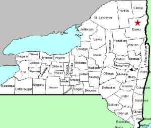
| County: |
Essex |
| Town: |
North Elba |
| USGS Map: |
Ampersand Lake |
| Waterway: |
Chubb River |
| Latitude: |
N 44o 11' 58" |
| Longitude: |
W 74o 03' 27" |
| Drop: |
NA |
| Type: |
Multiple |
| Region: |
Off NY 73 just south of Lake Placid |
| Parking: |
Unpaved lot |
| Trail type: |
Dirt |
| Length of hike: |
7.0 mile one-way |
| Difficulty: |
Difficult |
| Accessibility: |
Public |
| Name: |
Official |
|
The hike to Wanika Falls is along the Northville-Lake
Placid Trail for close to seven miles. When you reach the
falls, you will need to ford the stream to see it. At times
of low water, this is not a problem, but if the water is high,
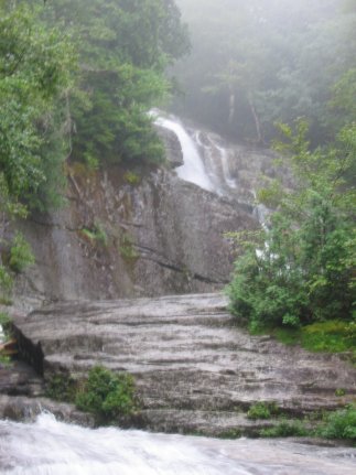
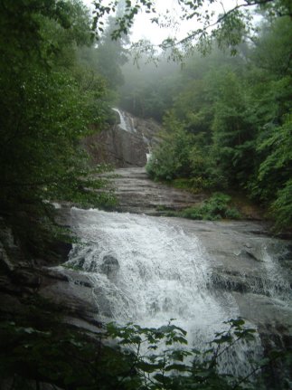
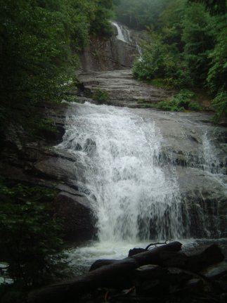
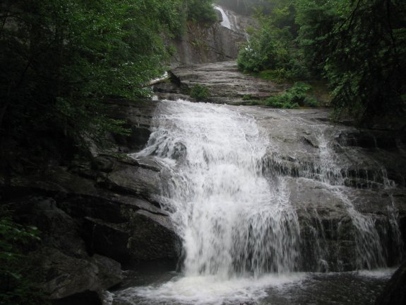
it might be challenging. Although we have not yet had the opportunity
to go into this area, based on pictures of Wanika Falls, it looks
to be a three-part drop. The top appears to be a ribbon cascade,
followed by a channel that slides a fairly good distance into the
final plunge, a curtain cascade.
If anyone has any pictures or other information on this waterfall,
we would be very interested in
hearing from
you. our thanks to Terry Goodrich of Brasher Falls NY
for the pictures he has provided.
The Chubb River flows into the West Branch of the Ausable River
just east of the Lake Placid Airport. The west branch joins
forces with the east branch in Ausable Forks. The combined
Ausable River empties into Lake Champlain in the town of Peru.
Latest update: August 5, 2015
|