| Directions
North of Keene on NY 73, take a right on route 40 (Alstead
Hill Road). Look for Bartlett Road on the right and
then Clifford Falls Road on the left.
|
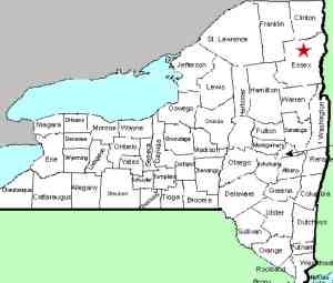
| County: |
Essex |
| Town: |
Keene |
| USGS Map: |
Lake Placid |
| Waterway: |
Clifford Brook |
| Latitude: |
N 44o 16' 36" |
| Longitude: |
W 73o 49' 25" |
| Drop: |
10' |
| Type: |
Step |
| Region: |
Off US 73 between Lake Placid and Keene |
| Parking: |
Roadside |
| Trail type: |
NA |
| Length of hike: |
NA |
| Difficulty: |
Easy |
| Accessibility: |
Private |
| Name: |
Official |
|
 As you approach the bridge over the
Clifford Falls, there is a parking area on your left. There
is no need to cross the bridge because the property surrounding
this waterfall is private and there are signs posted to that effect.
You have nice views of the falls from the bridge, although the
foliage has increased in the past couple of years which does
impede your view somewhat. The road
on the other side of the bridge is a dead-end. As you approach the bridge over the
Clifford Falls, there is a parking area on your left. There
is no need to cross the bridge because the property surrounding
this waterfall is private and there are signs posted to that effect.
You have nice views of the falls from the bridge, although the
foliage has increased in the past couple of years which does
impede your view somewhat. The road
on the other side of the bridge is a dead-end.
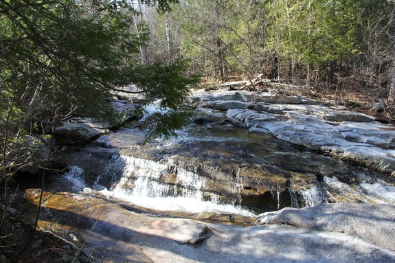
This is pretty location. The brook is actually coming down
from two directions. Part of the rock is extruding to form
an island of sorts. Since this is private land and you can
only view the area from the bridge we have to draw some assumptions.
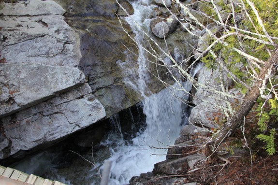
As you view the area upstream, the brook comes down from the upper
left over massive sheets of rock. The brook flows down a natural
waterslide on river right (your left) and through an "S"
curve. The water disappears behind a rock and the water level
above it is obviously higher than the exit so we presume there is
a plunge of some sorts there. From the other side of
the brook, there is slide and the two parts converge into a pool.
From there, there is another "S", question mark sort of
route, which drops into another pool a very short distance from
the bridge. As you look down from the bridge on the upstream
side, you see the water plunge over a small free-fall of five or
six feet. There is a ledge there that almost looks like there
is a cave under it, at least an overhang.
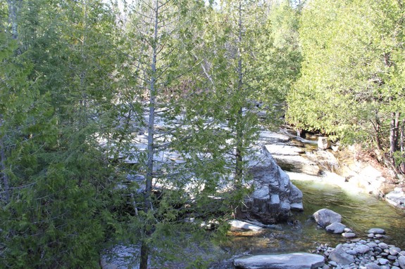
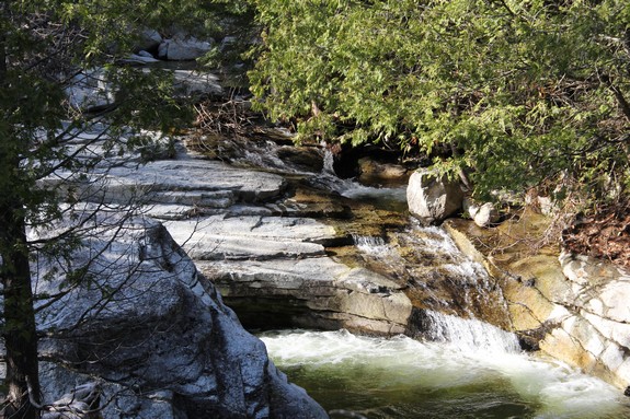
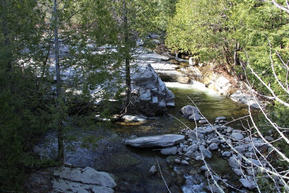
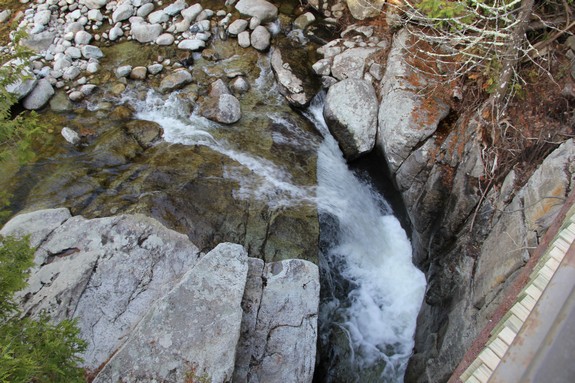
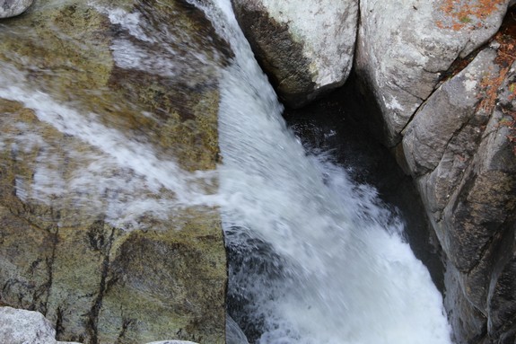
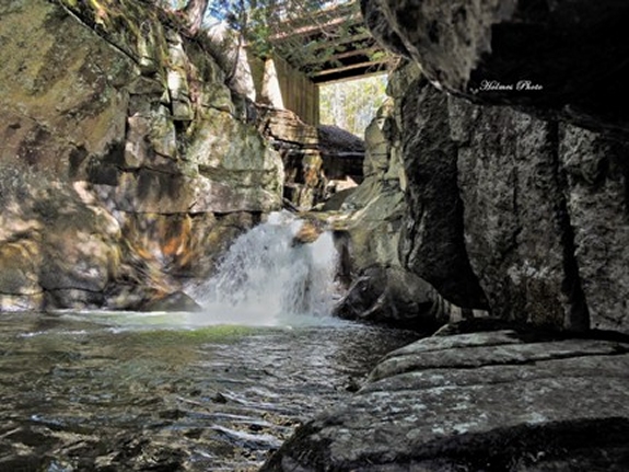
The water disappears under the bridge and a few feet downstream
there is another cascade of five or six feet into a pool before
heading downstream. We do have a shot from under the
bridge that was submitted by a contributor.
There is a wooden ladder built into the side of the embankment on
the lower side. It would appear that the owners access the
area of the lower falls from that.
The Clifford Brook enters the East Branch of the Ausable
River 1.8 miles, as the crow flies, from this locations.
The east and west branches join forces downstream at Au Sable
Forks to form the Ausable River. This waterfall rich river
empties into Lake Champlain in the town of Peru.
Webmaster's note: The information on this page was last
edited in 2016, but has been on this website in one form or
another since at least 2010. On a number of occassions in
the above, we note that this area is private property and that
you should only view the waterfall from the bridge. We can
not make it any clearer than that. On July 20, 2020, we
received an email on behalf of the landowners asking to
strengthen the wording of this page to discourage people from
descending to the water level. We don't know what else can
be said. Do not trespass ... stay off of private land.
Last update: July 22, 2020
|