|
Lampsons Falls is perhaps the most popular waterfall
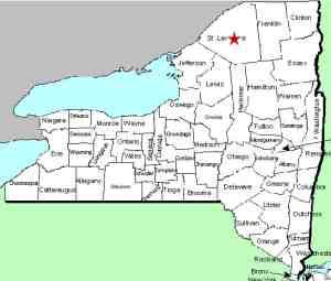
in St. Lawrence County, New York. The trailhead is just north
of an airstrip which is north of the hamlet of DeGrasse.
Downstream a mile-and-a-half or so of Lampsons Falls, there are
seven distinct drops. These can all be accessed by
canoe/kayak/tube on the river or by hiking the shore. Our
thanks to Bill Hill, an avid hiker and prolific contributor to
this website, for providing pictures and information on these
seven locations.
We have dubbed this unnamed drop Grass River Falls #6 because
it is the sixth drop going upstream on this stretch. It is
the second you reach going downstream from Lampsons and is
within the boundaries of the Adirondack Park.
This is a two-part drop. The upper portion is about 20
feet wide and drops 15 feet in several steps through a basin
over about 100 yards of the river. The lower part is also
two-part. The river portion descends and ends in a 5 foot
drop. The left channel is more level and terminates in a
ten foot drop. The coordinates listed are of the upper
drop which is the largest of the three.
The Grass River flows into the St. Lawrence River in Massena,
in St. Lawrence County.
Note: Depending upon which map or sign you are using, this
river is referred to as either Grasse or Grass.
Officially, it is Grass.
Last update: March 26, 2020
|