| Directions
From the junction of CR 17 and CR 27 in the hamlet of
Degrasse, proceed northeast on CR 27. In about 6.9
miles, there is a bridge crossing the Grass River North
Branch. Pelkys Falls is upstream from here.
|
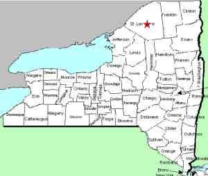
| County: |
St. Lawrence |
| Town: |
Clare |
| USGS Map: |
West Pierrepont |
| Waterway: |
Grass River, North Branch |
| Latitude: |
N 44o 25' 44" |
| Longitude: |
W 75o 01' 13" |
| Drop: |
NA |
| Type: |
NA |
| Region: |
South of Canton |
| Parking: |
NA |
| Trail type: |
NA |
| Length of hike: |
NA |
| Difficulty: |
NA |
| Accessibility: |
Unknown |
| Name: |
Official |
|
We have not yet been to Pelkys
Falls. It is about 1.5 miles upstream from the bridge mentioned
in the direction side-bar. There is a road on either side
of the river that comes within 2000 feet or so of this waterfall,
but it is our understanding that the land surrounding it is private.
We haven't been able to verify that. We also do not know if
this area is accessible by kayak by paddling upstream.
If anyone has any information or pictures of this location, please
contact us.
The north branch joins the main channel a little over four miles
downstream from this waterfall. The Grass River flows into
the St. Lawrence River in Massena, in St. Lawrence County.
Note: Depending upon which map or sign you are using, this
river is referred to as either Grasse or Grass.
Officially, it is Grass.
Last update: September 21, 2015
|


