| Directions
Take NY 22 south across the Great Chazy River in Mooers.
The first right is the Gilbert Road. This
waterfall is at the end of this road, just before it intersects
the Woods Falls Road.
|
| County: |
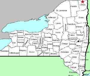
Clinton |
| Town: |
Mooers |
| USGS Map: |
Altona |
| Waterway: |
Great Chazy River |
| Latitude: |
N 44o 55' 32" |
| Longitude: |
W 73o 38' 17" |
| Drop: |
20' |
| Type: |
Rectangular cascade |
| Region: |
Off US 11 south of the hamlet of Mooers
Forks |
| Parking: |
Roadside |
| Trail type: |
Roadside |
| Length of hike: |
Roadside |
| Difficulty: |
Easy |
| Accessibility: |
Private |
| Name: |
Common |
|
 There have been some
changes at this waterfall. You will see it
as you cross the bridge but that is about all you will get. There have been some
changes at this waterfall. You will see it
as you cross the bridge but that is about all you will get.
When we were there a some time ago, you could get onto the
old bridge that is next to the Gilbert Road bridge and had a
fantastic view. You could also get down on the river's
bank on the west shore where you were up close and personal.
Both of these locations also provided excellent photo
opportunities.
On our last visit on May 5, 2016, we discovered that the
entire west side is now posted. That is disappointing for
the waterfall fan but we can certainly understand. The old
bridge is deteriorating. The owners probably are concerned
about liability. As for the shore access, there was an
abundance of trash littering the shore when we were there
before. A disrespectful public has possibly led to this
action.
You can still see the falls from the roadside on the bridge,
but because of the old bridge and the foliage, the photo ops are
now limited.
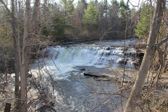
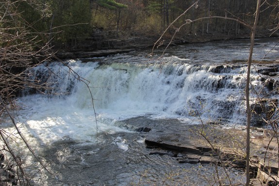
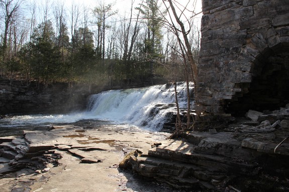
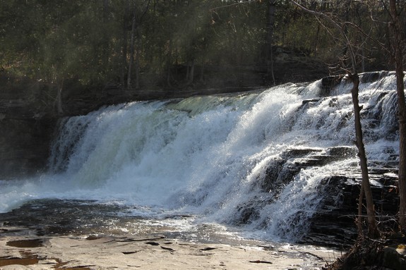
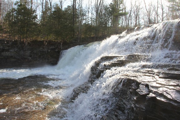
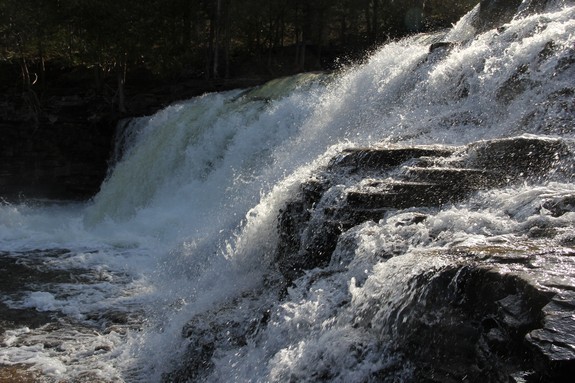
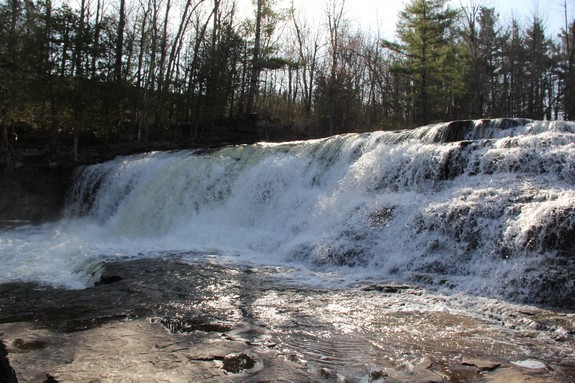
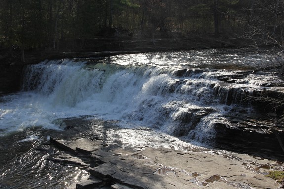
The waterfall itself is a curtain cascade, about twenty feet
tall and spanning about 70 feet across the river. Next to
it is the remains of an old structure, probably a mill from days
gone by. This old bridge also presents some interesting viewing. It
is of stone construction, with an archway under the main span.
There is an opening through it on the land portion toward the parking
area.
Just downstream of this location at Mooers Forks, the North Branch
joins the Great Chazy River. From here, it flows into Kings
Bay, just south of Rouses Point on the northwest side of Lake Champlain
in the town of Champlain.
Last update: April 26, 2017
|