| Directions
This waterfall is not publicly accessible.
|
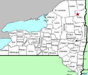
| County: |
Essex |
| Town: |
Newcomb |
| USGS Map: |
Newcomb |
| Waterway: |
Hudson River |
| Latitude: |
N 43o 56' 36" |
| Longitude: |
W 74o 8' 39" |
| Drop: |
NA |
| Type: |
NA |
| Region: |
NY 28N at the hamlet of Newcomb |
| Parking: |
NA |
| Trail type: |
NA |
| Length of hike: |
NA |
| Difficulty: |
NA |
| Accessibility: |
Private |
| Name: |
Official |
|
In the hamlet of Newcomb, there is a short road that loops off
the south side of NY 28N. This is the Pine Tree Road.
From this, there is the Goodnow Flow Road that heads south.
A short distance down this road, the ord Road is on the left.
From this intersection, ord Falls is a little less than 2 miles
away. At this point however, there is a gate. Signs
there and indications on maps are that this road is private.
From the 28N bridge over the Hudson River in Newcomb, this waterfall
is 1.8 miles downriver. It would stand to reason that it could
be reached by canoe or kayak on the river but that theory has not
been tested by anyone at nnywaterfalls.com! There is one set
of mapped rapids about mid-way on that route.
If anyone has any information about these waterfalls, we would
be very interested in
hearing from you.
The Hudson River flows into the Atlantic ocean at New York City.
Last update: october 19, 2015
|


