| Directions
Take Exit 17 from I-87 and go south on US 9 briefly.
The old Saratoga Road will exit right. Take this and
then the first right on the Mountain Road. Spier Falls
Road will be the first left. This facility will be
a little over 3 miles down this road on the right.
|
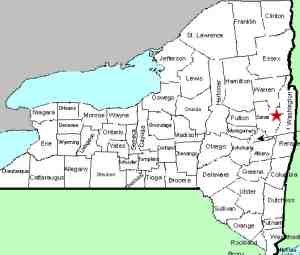
| County: |
Saratoga/Warren |
| Town: |
Moreau/Lake Luzerne |
| USGS Map: |
Corinth |
| Waterway: |
Hudson River |
| Latitude: |
N 43° 14' 5" |
| Longitude: |
W 73° 45' 24" |
| Drop: |
NA |
| Type: |
Dam |
| Region: |
North of Saratoga Springs |
| Parking: |
Roadside |
| Trail type: |
NA |
| Length of hike: |
NA |
| Difficulty: |
Easy |
| Accessibility: |
Public |
| Name: |
Official |
|
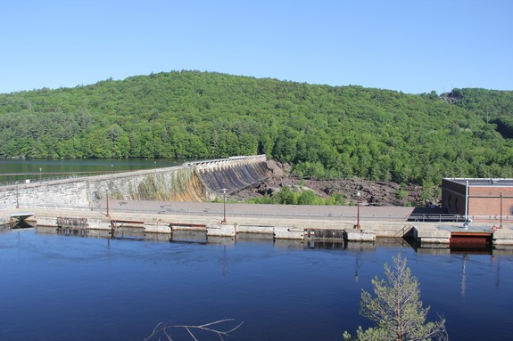
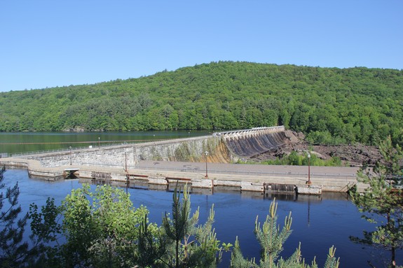
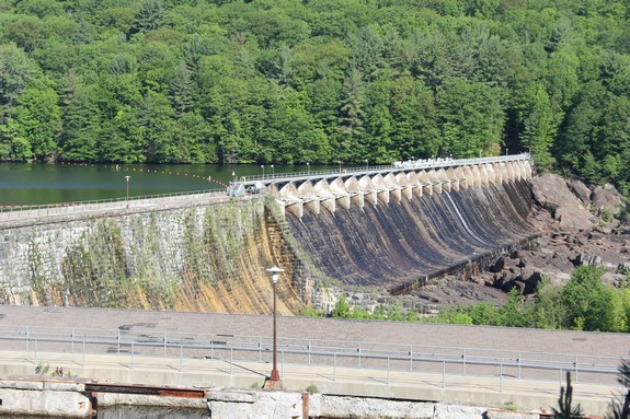
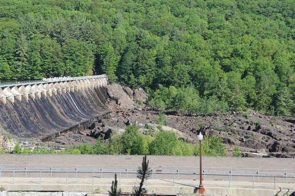
Spier Falls is an officially named waterfall, listed on the USGS
GNIS. For all intents and purposes, there is no longer a
waterfall here. It is now a fairly large hydro-electric
facility. At the base of the dam, there is terrain that would
qualify to be a waterfall if water was flowing. As with most
hydro-electric projects, the power plant controls the flow and
during a majority of the time, there is little to no water
coming over the dam. It is likely that water does flow at certain times
of the year but it has been dry each time we have been there. The site can be viewed from the side of the road, just north
of the parking area for the facility.
The Hudson River flows into the Atlantic Ocean.
Last update: October 20, 2015
|