|
There is something about a waterfall that people find very positive
and enjoyable. It seems that even small waterfalls are beautiful
and the larger ones are nothing short of spectacular. In addition,
the waterfall is one of Mother Nature's ways of cleaning and aerating
our water supply.
This website has become a comprehensive guide to the waterfalls
in Northern New York. It includes all named waterfalls as
well as many commonly named and unnamed falls that are on waterways
in this region. Please view our definition
page for an explanation of what we have included. We would
also encourage you to read our page of
disclaimers, precautions and copyright information.
We are constantly adding new falls and looking for contributors
who might have photographs of waterfalls that we do not have pictures
of. Please read on if you would like to have your pictures
published on this website.
 |
Click
on the Facebook icon
to go to our Facebook page |
|
|
|
|
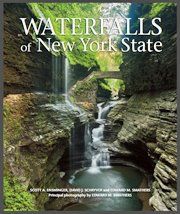
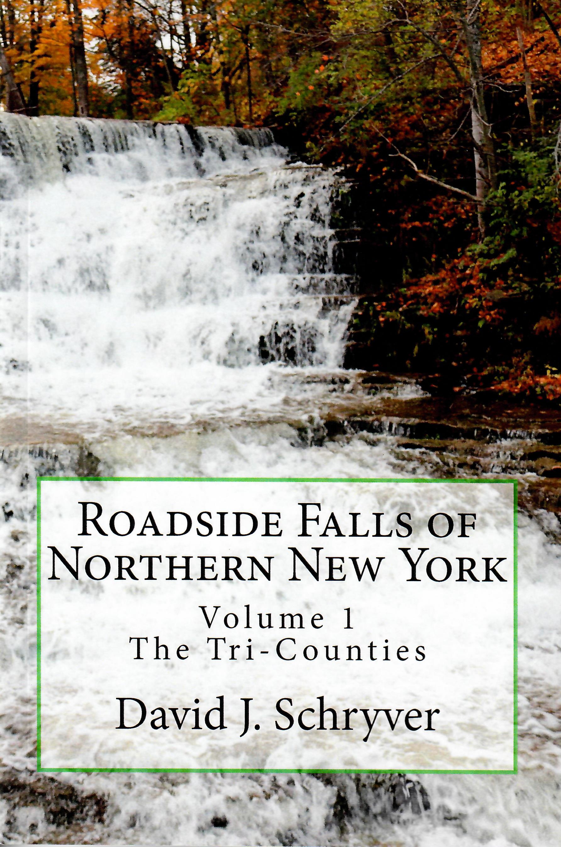
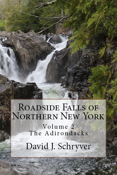
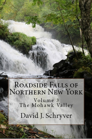
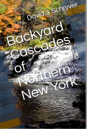
The David Schryver
Bookstore
For books written or co-authored by David J.
Schryver, the manager and owner of this website,
visit our bookstore.
Please note that our prices are the lowest you will find
for these books on-line. We charge less than
suggested list price for most titles and this includes free shipping
on all orders shipped within the United States.
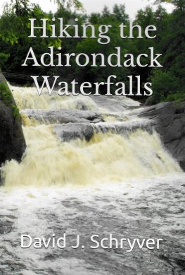
We are pleased to announce the release of my latest book,
Hiking the Adirondack Waterfalls.
Visit our bookstore.
We are also pleased to announce that we have released
the first two of our series of lighthouse guidebooks.
Since we have now published guidebooks for waterfalls
and lighthouses, we have expanded our bookstore and
relocated it to the website
davidschryver.com. It operates the same as it
did when it was a part of this website. The user
will not see any difference.
IMPORTANT NOTICE ...
It is recommended that you access our bookstore using a
computer rather than a phone or tablet. Our shopping
cart and checkout process does involve the opening of
multiple windows. We have had reports from people who
had problems placing their order because they were not
able to navigate to a second window on their device. If
you are able to do this on your device, you shouldn't
have an issue. If you
encounter any issues during the ordering process, please
feel free to
e-mail us explaining the problem.
|
|
|
|
Power dams are very prevalent in northern New York. At
many of these sites, a waterfall still exists at the base of the
dam but at some, the dam replaced the waterfall. There are
even a few situations where a dam was built and the flooding that
resulted covered waterfalls that were upstream. These are included
for their historical significance.
When this website was started, we also listed rapids. We
will still list officially named rapids on our
Officially Named Waterfalls and Rapids page but otherwise
will not be providing pages for rapids except for those that are
otherwise considered waterfalls.
When visiting any waterfall, please use caution. Although
some sites listed do provide handrail or retaining devices, most
do not. The majority of these waterfalls are in their natural
setting where you will be experiencing the natural beauty of the
region. Your safety should be a primary concern.
Another
concern when visiting a waterfall is its legal
accessibility. Is the waterfall on public, or
private land? Many times, NYS DEC signs will
confirm that the land is state owned. Other times,
there are no signs. Usually in these areas, using
your discretion is key. If you a careful and
respectful, you probably won't have a problem. The
real question lies with posted property. We always
encourage waterfall hikers to honor the landowner's
rights. However, it is sometimes
possible to access the riverbank on posted property.
For the convenience of our readers, we have obtained a
copy of
Public Navigation Rights in
New York State. This document answers some
frequent questions about this topic.
|
|
Waterfalls recently added to the GNIS
... for any geographic feature to be officially named,
it must be listed on the USGS GNIS data base. For
a complete explanation of that please refer to our
Official Falls
page. Between 2016 and 2019, we undertook a
project to have several northern New York waterfalls added to that
data base.
We have completed that project. Note that there
were a few locations we felt should be included but our
efforts to contact the appropriate parties were not met
with the courtesy of a response. For a complete list of
falls added, please refer to our "Waterfall
Naming Project" page. Although we have
"finished" this project, we certainly would reactivate
the effort if we were contacted about locations that
should be included. If you know of any such
waterfall, please
feel free to
send us an email. |
|
|
To facilitate use of this site, the menu in the banner
above lists waterfalls in three ways:
- "Listed Alphabetically" ... a separate
page that provides an alphabetical list of all Northern
New York waterfalls.
- "Listed By County" ... a separate page
that provides an alphabetical list of falls within the
respective county.
- "Listed By River" ... this page lists
all falls based on the waterway they are on. A
River" ... this page lists
all falls based on the waterway they are on. A
complete description of how this is set up is given
on the page.
For each waterfall, a chart is provided which includes a
number of items of pertinent data on the waterfall.
A complete breakdown of that chart is found on
our definition page.
Pictures are also provided for each site. If
there are no pictures of a particular falls, we just haven't
been there yet. If you have original pictures of a
site that we do not yet have pictures of, we graciously
accept photo submissions
and give credit accordingly.
|
|
| Many of the included falls are
not on maps. There are, without exaggeration, hundreds
of unnamed waterfalls in northern New York. If anyone
viewing this has anything they feel could contribute to
the cause, please do not hesitate to
contact us.
You may submit a waterfall, complete with pictures, for
consideration by completing our
Waterfall Submission
Form. All contributions will be credited appropriately. |
|
|