| Directions
This waterfall is on private property.
|
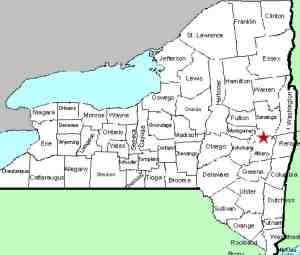
| County: |
Schenectady |
| Town: |
Glenville |
| USGS Map: |
Schenectady |
| Waterway: |
Indian Kill |
| Latitude: |
N 42° 52' 33" |
| Longitude: |
W 73° 55' 30" |
| Drop: |
10' |
| Type: |
Curtain cascade |
| Region: |
Northeast of Scotia |
| Parking: |
NA |
| Trail type: |
NA |
| Length of hike: |
NA |
| Difficulty: |
NA |
| Accessibility: |
Private |
| Name: |
Common |
|
This waterfall is
on private property upstream of the Indian Kill Nature
Preserve. As such, we have never been there but we do have
a picture provided by a contributor. Robert Claycomb grew
up in that area and spent quite a bit of time there. This
photo was taken in August of 2005. Our thanks to Robert. If anyone
else has information or pictures
of this waterfall, we would greatly appreciate hearing from you.
The Indian Kill flows into the Alplaus Kill, which empties into
the Mohawk River just east of Scotia. This flows to the Hudson
River before reaching the Atlantic ocean in New York City.
Last update: January 17, 2021
|


