| Directions
This waterfall is on the Fort Drum Army Base.
We are researching its accessibility.
|
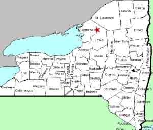
| County: |
Jefferson |
| Town: |
Wilna |
| USGS Map: |
North Wilna |
| Waterway: |
Indian River |
| Latitude: |
N 44° 07' 17.40" |
| Longitude: |
W 75° 34' 48.51" |
| Drop: |
NA |
| Type: |
NA |
| Region: |
On Fort Drum |
| Parking: |
NA |
| Trail type: |
NA |
| Length of hike: |
NA |
| Difficulty: |
NA |
| Accessibility: |
NA |
| Name: |
Common |
|
We became aware of the existence of this waterfall during a
presentation that we made in Three Mile Bay, New York, in August
2016. A lady that was in attendance told us that they used
to visit this location when she was young.
We called the
Public Affairs office at Fort Drum and left a message. A
few days later, we had a voice mail that indicated that there
were no waterfalls on Fort Drum. We made a second call to
the office to try and clarify some things. We left another
message and this call was never returned.
At this point,
we aren't sure what this means. Satellite images of the
area show a section that could be a waterfall but it isn't
clear. We are asking for help on this one. If anyone
has any knowledge of this waterfall or information on this area,
please contact us.
The Indian River continues its flow downstream through Black
Lake. Then it joins the Oswegatchie River which flows to the
St. Lawrence River in Ogdensburg.
Last update: September 26, 2016
|


