| Directions
Proceed on NY 12 south out of Watertown. When you
reach the hamlet of Burrville, take a right on the Plank
Road. The Burrville Cider Mill will be in view on
your left. This waterfall is located upstream from
the cider mill, but is on private property.
|
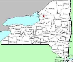
| County: |
Jefferson |
| Town: |
Watertown |
| USGS Map: |
Rutland Center |
| Waterway: |
Jacobs Creek |
| Latitude: |
N 43° 55' 45" |
| Longitude: |
W 75° 51' 28" |
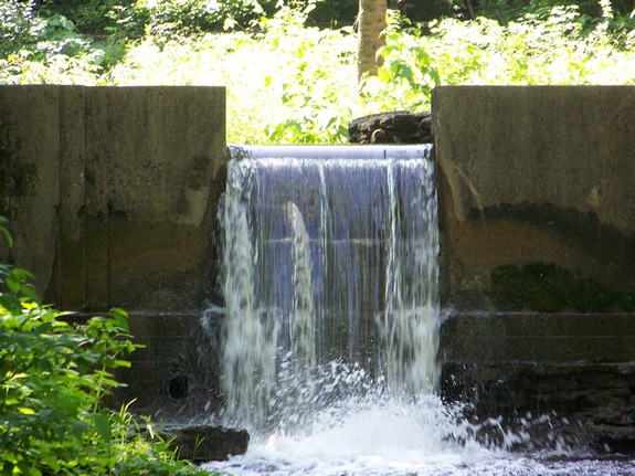
| Drop: |
10' |
| Type: |
Ribbon cascade |
| Region: |
Just southeast of Watertown |
| Parking: |
Paved lot |
| Trail type: |
Stream bed |
| Length of hike: |
1/4 mile |
| Difficulty: |
Easy |
| Accessibility: |
Private |
| Name: |
Unnamed |
|
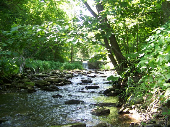
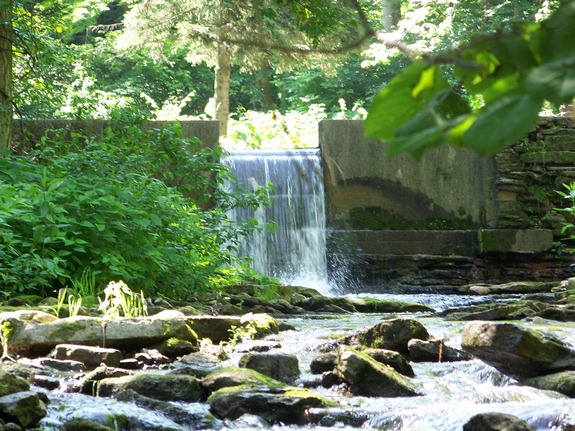
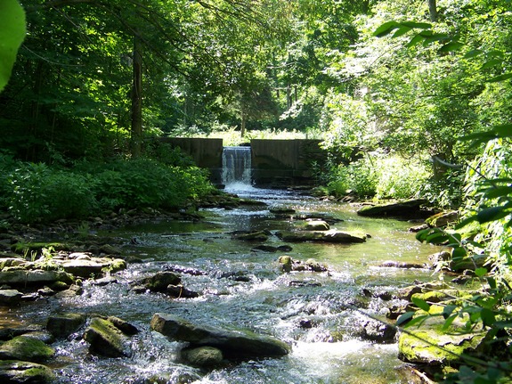
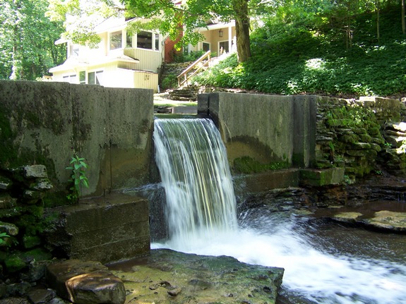
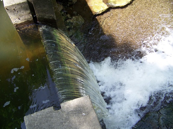
There are three unnamed waterfalls just upstream
from the Burrville Falls and the
Burrville Cider Mill, which is a landmark in Jefferson County.
This one is the first and smallest of these three. It is about
one-quarter mile from the cider mill. Actually, it appears
that these falls are man-made or at least enhanced by man.
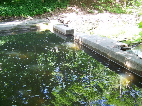
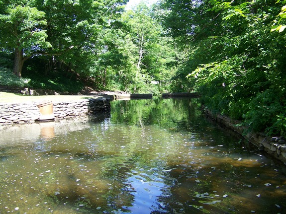
There is a concrete dam structure with a mill pond of sorts
behind it. There is a home right by the pond. We asked
if this is a converted mill, but apparently it isn't.
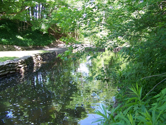
There is a waterfall by the mill. To access the other falls,
you must follow the creek behind the mill. We mean this literally.
This is not a trek you want to make if you are adverse to walking
in the creek or encountering pricker bushes. Also, since this
is private property, one should get permission from the property
owners. Our thanks to Greg Steiner of the Burrville Cider
Mill for allowing us access to this area.
The Jacobs Creek flows into the North Branch of the Sandy Creek,
which then flows into the Sandy Creek, which eventually reaches
Lake Ontario.
Last update: November 3, 2015
|