| Directions
For those with a GPS, Pixley Falls State Park is located
at 11430 NY 46, Boonville NY. For the old fashioned
method, simply take NY 46 south from Boonville. The
facility will be on your left. You can't miss it!
|
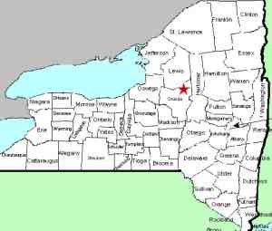
| County: |
Oneida |
| Town: |
Boonville |
| USGS Map: |
Boonville |
| Waterway: |
Lansing Kill |
| Latitude: |
N 43° 24' 08" |
| Longitude: |
W 75° 20' 38" |
| Drop: |
50' |
| Type: |
Classical Block |
| Region: |
South of Boonville |
| Parking: |
Unpaved lot |
| Trail type: |
Dirt |
| Length of hike: |
2 minutes |
| Difficulty: |
Easy |
| Accessibility: |
Public |
| Name: |
Official |
|
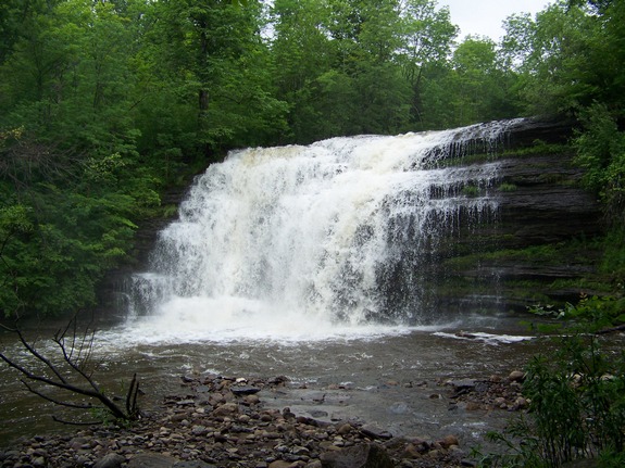
 Pixley Falls is promoted as the main
attraction in the Pixley Falls State Park. Just south of Boonville
it is quite easy to find. The park is open all year and features
a nature trail that weaves through the woods and past the falls. Pixley Falls is promoted as the main
attraction in the Pixley Falls State Park. Just south of Boonville
it is quite easy to find. The park is open all year and features
a nature trail that weaves through the woods and past the falls.
As you enter the park and cross the bridge, the road will bend
to the right. Just past this, bear left at the "Y"
and continue to the upper area. You will see a trail on your
right which will take you to the base of the falls.
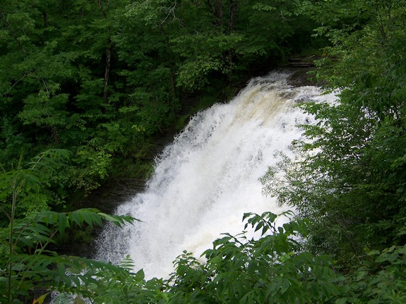
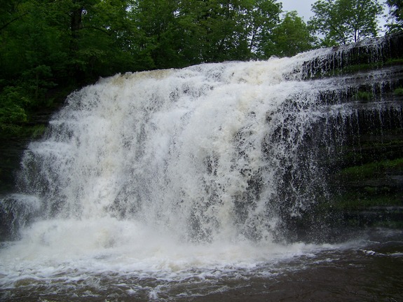
This is a nice little park which is now a day-use only area.
Camping is no longer allowed there but it is available for picnic
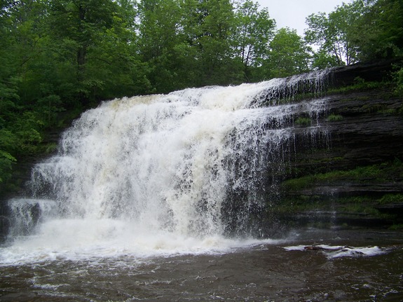
use. The 50' Pixley Falls is a nice one and you can get so
close to the bottom of it that you will feel the mist it creates.
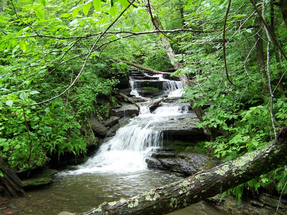
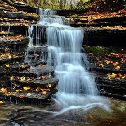
At the base of the falls, there is a small, unnamed feeder stream
entering. Just upstream from here, there is at least one other
small waterfall.
Lansing Kill flows into the Mohawk River. This empties
into the Hudson River which flows into the Atlantic Ocean.
Last update: April 24, 2017
|