| Directions
On NY 9N on the north side of Port Henry, a large
bridge starts just north of the intersection with Dock
Lane. Your best bet is to park on the west side of
the highway, south of the bridge.
|
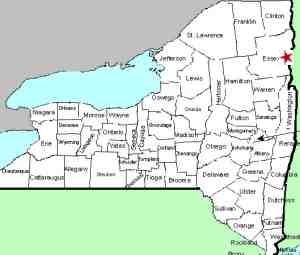
| County: |
Essex |
| Town: |
Moriah |
| USGS Map: |
Port Henry |
| Waterway: |
Mill Brook |
| Latitude: |
N 43o 03' 15" |
| Longitude: |
W 73o 27' 28" |
| Drop: |
NA |
| Type: |
Ribbon Cascade |
| Region: |
North of Port Henry |
| Parking: |
Roadside |
| Trail type: |
Roadside |
| Length of hike: |
Roadside |
| Difficulty: |
Roadside |
| Accessibility: |
Roadside |
| Name: |
Unnamed |
|
 This waterfall can be seen from the road as you enter Port
Henry from the north. Because of the bridge here, and the
traffic, it is necessary to park south of the bridge and walk
back. We urge caution because there is significant traffic
here rolling by at significant speeds, even though they are
slowing to enter the community. This waterfall can be seen from the road as you enter Port
Henry from the north. Because of the bridge here, and the
traffic, it is necessary to park south of the bridge and walk
back. We urge caution because there is significant traffic
here rolling by at significant speeds, even though they are
slowing to enter the community.
The Mill Brook is not that long a waterway. From the
looks of the topo maps, the drop that is within sight of the
highway may be the bottom of a series of drops extending a
considerable distance up the side of this hill.
Mill Brook appears to originate about six to seven miles
upstream as the crow flies. It flows into Lake Champlain
literally within sight of this highway.
Last update: August 18, 2017
|


