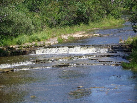
| Directions
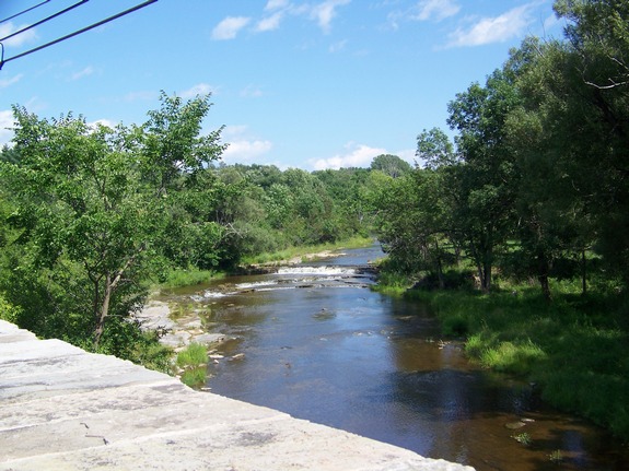
From the village of Sackets Harbor, take the Military
Road out of town. At the village limits, there is
a one-lane bridge. The waterfall can be seen from
this bridge.
|
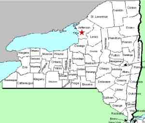
| County: |
Jefferson |
| Town: |
Hounsfield |
| USGS Map: |
Sackets Harbor |
| Waterway: |
Mill Creek |
| Latitude: |
N 43° 57' 11" |
| Longitude: |
W 76° 06' 06" |
| Drop: |
~ 5' |
| Type: |
Step |
| Region: |
Northeast of Sackets Harbor |
| Parking: |
Roadside |
| Trail type: |
Roadside |
| Length of hike: |
1 minute |
| Difficulty: |
Easy |
| Accessibility: |
Roadside view |
| Name: |
Unnamed |
|
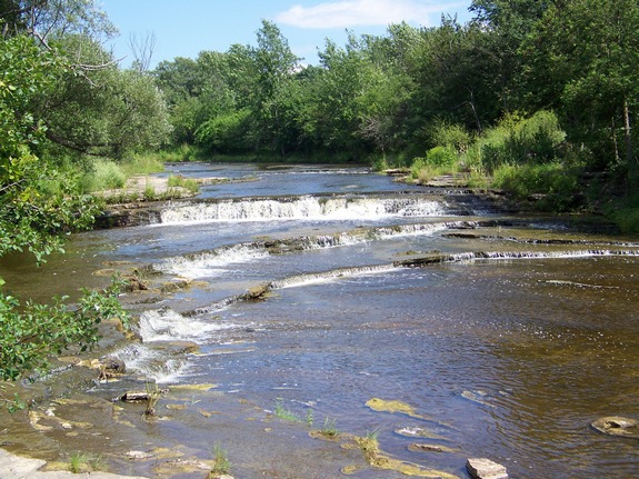
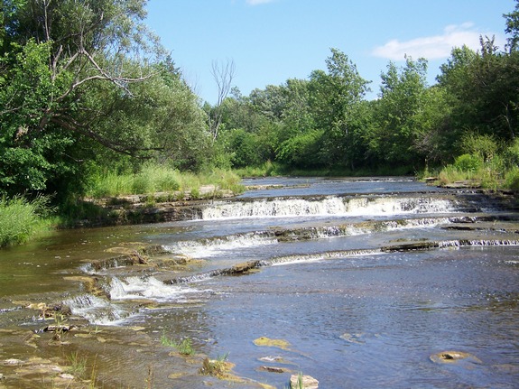
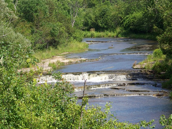
These very tiny falls are unnamed and aren't even
indicated on topographical maps. The Mill Creek at this point
is the village boundary of Sackets Harbor, so we have dubbed them
Sackets Harbor Falls.
The Mill Creek flows into Lake Ontario a few hundred feet downstream
from these falls.
Last update: November 18, 2015
|