|
Crystal Falls is located behind the Fortis facility on the Lyonsdale
Road on a stretch of the Moose River that is very popular with kayakers.
Access to see it will be based on timing or luck, or maybe a combination
of the two.
The best views are from the south bank of the river behind Fortis.
The first time we were there, the gate was locked so we didn't attempt
to enter. Our second trip was during the Black-Moose Kayak
Event in 2014. The gate was open and there was a sign indicating
that the sign-in procedure was suspended for the day due to the
event. This would imply that if the gate is open, you could
sign in and view the waterfall. This is why we say it may
take some timing and luck. Also, this view is of river left
which is the larger channel.
Alternative views are possible from the north bank. If
you go to the Kosterville Hydro Site on that side of the river and
continue beyond it, you will come to some private property.
More timing and luck! When we were there in August 2011, a
man came by on an ATV. We approached him and learned that
he owned the camp just upstream. He offered to let us traverse
his property to access the island where you are almost in the falls.
You will need water-shoes and we did locate poison ivy on the island.
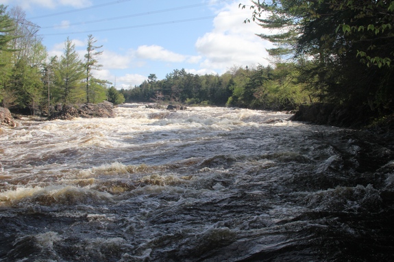
However, on our return in May 2014, the water was so high and wild
that we would have been swept away if we had tried the same hike!
This view is of river right, which is the narrower channel.
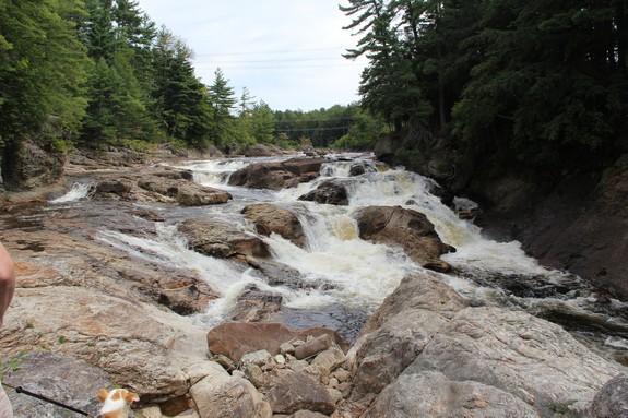
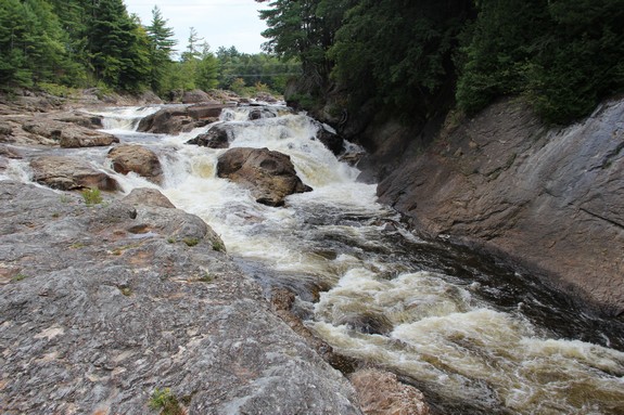
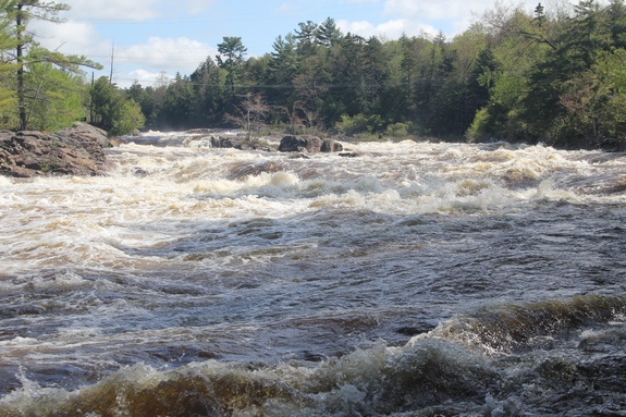
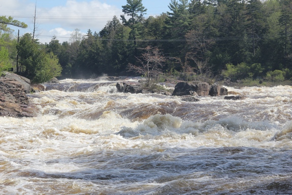
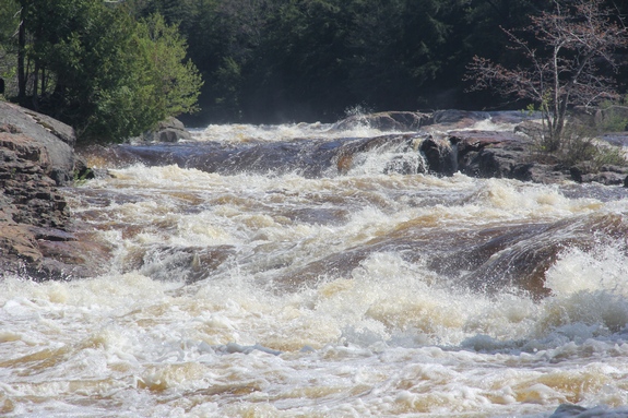
As for the falls, in low water, they are a series of steps that
drop and tumble over dozens of boulders and rock formations in the
river. In fact, it appears that most of this island is part
of this formation. In spring flow, the entire width of the
river is a cascading torrent.
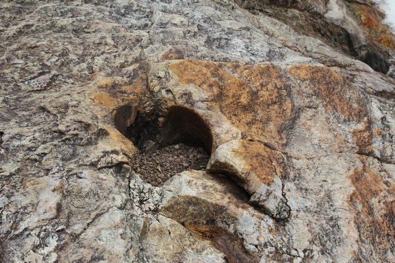
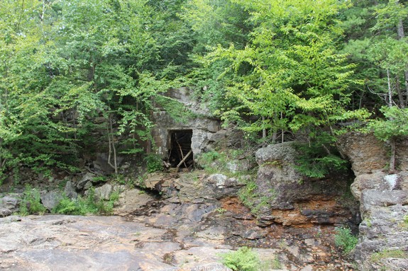
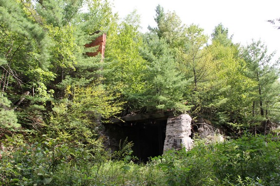
As with many areas such as this, the water once powered mills
that were there decades ago. There is evidence at this site
of a structure that probably once was a sawmill or similar facility.
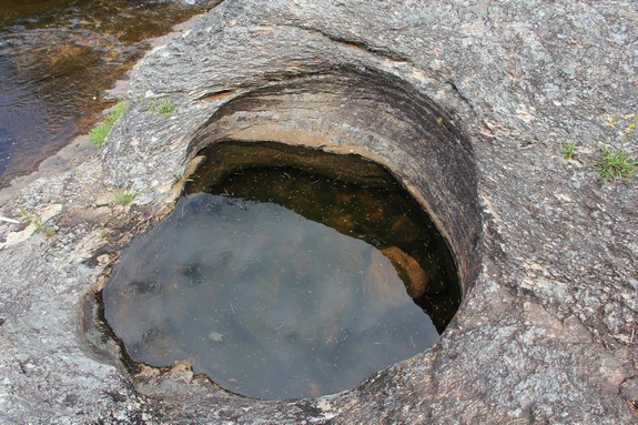
In addition, there were several holes in the rocks that had been
carved by centuries of erosion.
Water levels greatly affect the appearance of the river in this
section. The last image in the array is from Bing Maps to
show the relative position of Crystal Falls behind the Fortis facility.
Sidebar ... on our first visit, we had a conversation with the
plant operator at the Kosterville Site. It was learned that
he and I grew up in towns not far apart. He actually knew
one of my friends that was in my wedding over 33 years ago ... small
world!
The Moose River flows into the Black River just a few miles downstream
from this location in Lyons Falls. The Black empties into
Lake Ontario in the Jefferson County community of Dexter.
Last update: November 27, 2015
|