| Directions
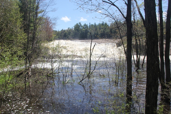
The property adjacent to this waterfall is now under
new ownership and is no longer accessible by the public.
|
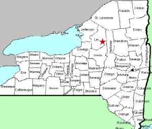
| County: |
Lewis |
| Town: |
Lyonsdale |
| USGS Map: |
Port Leyden |
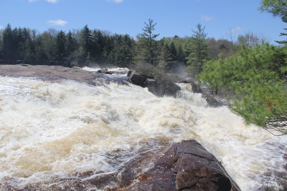
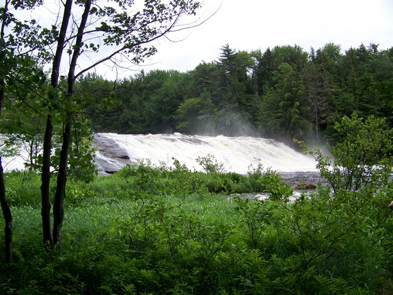
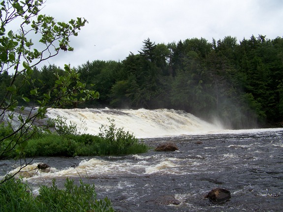
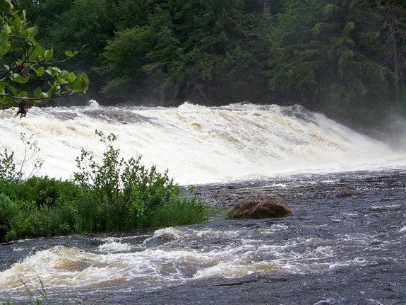
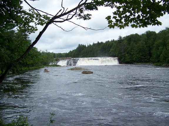
| Waterway: |
Moose River |
| Latitude: |
N 43° 37' 24" |
| Longitude: |
W 75° 16' 41" |
| Drop: |
~30' |
| Type: |
Segmented |
| Region: |
East of Lyons Falls |
| Parking: |
NA |
| Trail type: |
NA |
| Length of hike: |
NA |
| Difficulty: |
NA |
| Accessibility: |
Private |
| Name: |
Common |
|
We were contacted
by the new owner of this location who notified us that
"Unfortunately, due to vandalism and dumping, the
property is no longer open to the public, and we are
prosecuting trespassers." Please respect their
rights.
This is unfortunate for waterfall
afficienados but completely understandable. Our
previous post contained text that described the
miserable state of the property. This area is
obviously a local party spot. Several places show
the remains of bonfires. All kinds of junk have
been discarded and burned here, including the working
part of an old shop vacuum cleaner. This is bad enough
in itself, but this location is within the Adirondack
"Blue Line."
The Moose River flows into the Black River just a few miles downstream
from this location in Lyons Falls. The Black empties into
Lake Ontario in the Jefferson County community of Dexter. |
 Left
channel Left
channel
Right
channel |
Last update: June 18, 2019
|