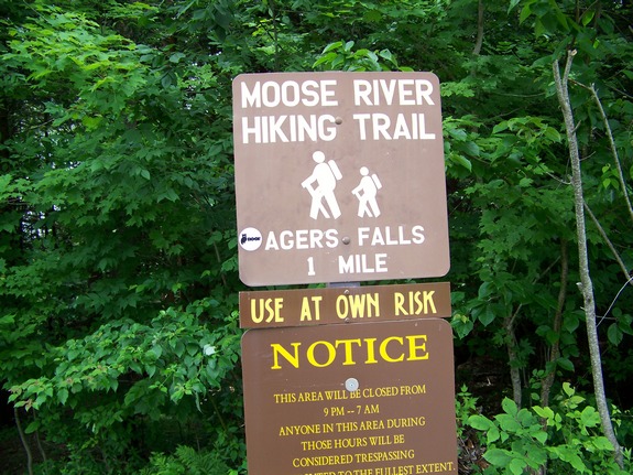
| Directions
From NY 12 in Lyons Falls, find the bridge crossing the
Black River and continue on the Lyonsdale Road. About
a mile before the Agers Falls Public Recreation Area, you
will find a parking lot on your left with signage indicating
the "Moose River Hiking Trail". Park here.
|
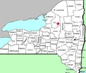
| County: |
Lewis |
| Town: |
Lyonsdale |
| USGS Map: |
Port Leyden |
| Waterway: |
Moose River |
| Latitude: |
N 43° 36' 58" |
| Longitude: |
W 75° 19' 34" |
| Drop: |
~25' |
| Type: |
Rapids |
| Region: |
East of Lyons Falls |
| Parking: |
Unpaved lot |
| Trail type: |
Dirt/rock |
| Length of hike: |
5 minutes |
| Difficulty: |
Easy |
| Accessibility: |
Public |
| Name: |
Common |
|
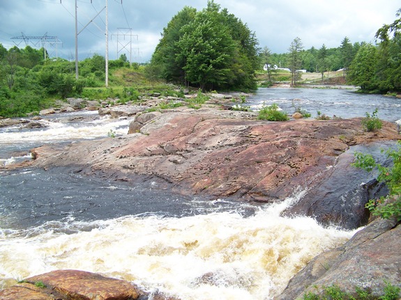
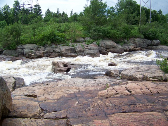
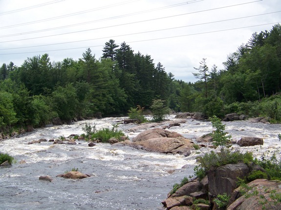
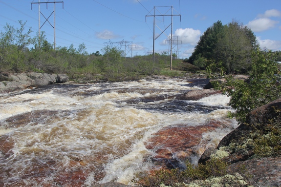
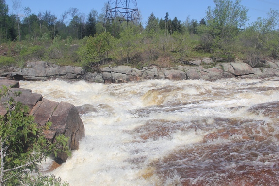
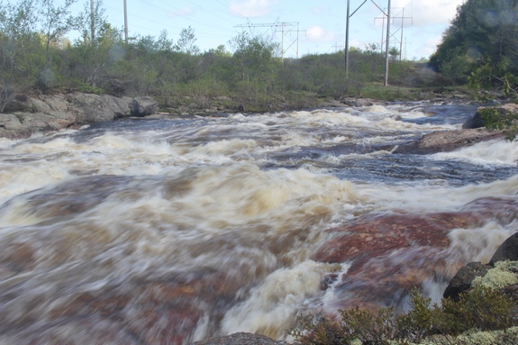
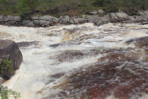
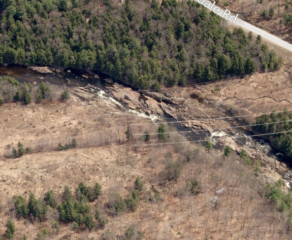
Follow the trail from the parking area and when you reach the
river you will find Powerline. This is a combination small
waterfall/stretch of rapids, named by the whitewater community that
is very active on this section of river. Its name comes from
the fact that electric power lines cross the river at this point.
The first four pictures in our array were taken during a dry
August 2011. The last four were from May 2014. It had
rained two inches the day before and the area had been hit with
a particularly wild winter.
The last image in the array is from Bing Maps. We have
provided it to show the relative position of Powerline and to demonstrate
the effect of water levels on this stretch.
The Moose River flows into the Black River just a few miles downstream
from this location in Lyons Falls. The Black empties into
Lake Ontario in the Jefferson County community of Dexter.
Last update: January 14, 2016
|