| Directions
Use the directions for North Chuctanunda Falls.
This drop is about 400 feet upstream.
|
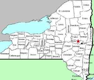
| County: |
Montgomery |
| Town: |
City of Amsterdam |
| USGS Map: |
Amsterdam |
| Waterway: |
North Chuctanunda Creek |
| Latitude: |
N 42° 56' 23" |
| Longitude: |
W 74° 11' 17" |
| Drop: |
3' |
| Type: |
Ledge |
| Region: |
City of Amsterdam |
| Parking: |
Streetside |
| Trail type: |
Streetside |
| Length of hike: |
Streetside |
| Difficulty: |
Easy |
| Accessibility: |
Public |
| Name: |
Common |
|
This
drop is very small, three feet or less. We do not have
pictures of it, but it is just upstream of North Chuctanunda
Falls. The water from the North Chuctanunda Creek makes its way into
the Mohawk River and the Hudson River before reaching the Atlantic
Ocean in New York City.
Last update: November 8, 2017
|


