| Directions
From I-87, exit 29, proceed west on
the Blue Ridge Road (CR 84) for about 17 miles.
The turn for Tahawus (CR 25) will be on your right.
From the other direction, this is about 1.6 miles from
the intersection of CR 2 with NY 28N. Follow CR
25 north and it will become a dirt road leading
to the parking area for hikers.
|
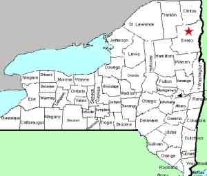
| County: |
Essex |
| Town: |
Newcomb |
| USGS Map: |
Mt Marcy |
| Waterway: |
Opalescent
River |
| Latitude: |
N 44°
6' 24" |
| Longitude: |
W 73°
59' 29" |
| Drop: |
15' |
| Type: |
NA |
| Region: |
Off CR 2 between
Newcomb and North Hudson |
| Parking: |
Unpaved lot |
| Trail type: |
Dirt/rock |
| Length of
hike: |
5.0 miles,
one way |
| Difficulty: |
Difficult |
| Accessibility: |
Public |
| Name: |
Common |
|
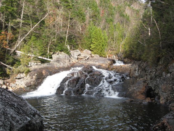
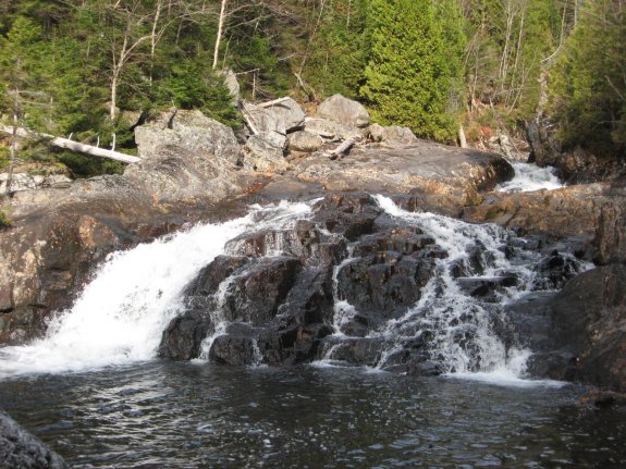
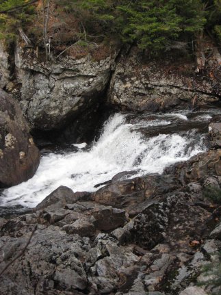
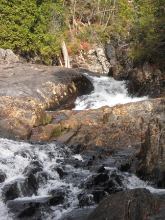
This location is in the flowed
lands area of the high peaks of Essex County. There are a
number of other waterfalls accessible on this hike. This is
not an officially named waterfall but is what we believe is referenced
in several other places as opalescent Falls. It is about 700'
upstream of Hanging Spear Falls. The Opalescent River empties into the Hudson River just south
of Tahawus, a former mining community. The Hudson flows into
the Atlantic Ocean in New York City.
Last update: April 8, 2016
|