| Directions
Take the Belfort Road from the village of Croghan to
the hamlet of Belfort. Then follow the Long Pond Road
and turn left when you come to the Bisha Road. Go
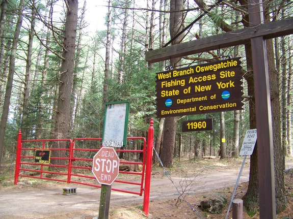
to the end of this road and you will find a parking lot
with a NYS DEC sign noting that it is the West Branch Oswegatchie
Fishing Access Site, lot 11960.
|
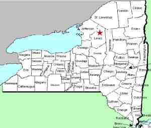
| County: |
Lewis |
| Town: |
Croghan |
| USGS
Map: |
Remington
Corners |
| Waterway: |
Oswegatchie
River West Branch |
| Latitude: |
N
44° 0' 20" |
| Longitude: |
W
75° 15' 20" |
| Drop: |
~10' |
| Type: |
Step |
| Region: |
Northeast of Croghan |
| Parking: |
Dirt road |
| Trail type: |
Roadside |
| Length of hike: |
None |
| Difficulty: |
Easy |
| Accessibility: |
Private/posted,DEC
easement |
| Name: |
Common |
|
There is quite of bit of confusion
surrounding this site. The first piece of confusion is in
regard to the existence of waterfalls. There is not really
a waterfall here. Locally, this area is referred to as Bisha
Falls. Back in the late 1800s, Louis V. Bisha ran a sawmill
here. Although we don't really know how big it was, there
was a waterfall at that point and we assume it powered the mill.
It had not been in operation long when the mill was destroyed by
fire. Some time later, a dam was constructed there.
A few years ago the dam gave way. A number of property owners
in the area wanted the dam replaced but finances, politics or both
got in the way and that has never happened. All that is left
now are rapids. The second bit of confusion is in regard to the
name. The falls are referred to as Bisha Falls, the community
there is Bishas Mill and the site is located at the end of a dead-end,
unpaved road identified on official topographical maps as Bisha
Road. However, mapquest.com and even the official Lewis County
map published by the County Highway Department refers to the road as
Besha Road and the highway map calls the community Besha Mill.
Local sources have verbally told us that the Besha family owned
property in that area in the early 1900s and the road was named
in their honor. We have not been able to verify this in written
sources. The mystery remains as to whether there were two
different families or the spelling simply got twisted over the years.
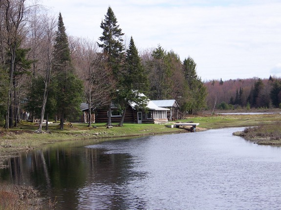
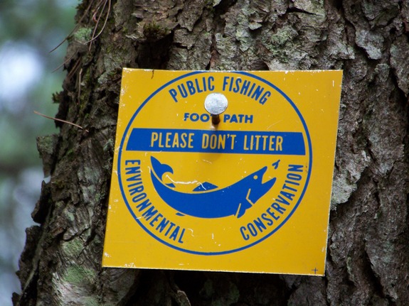
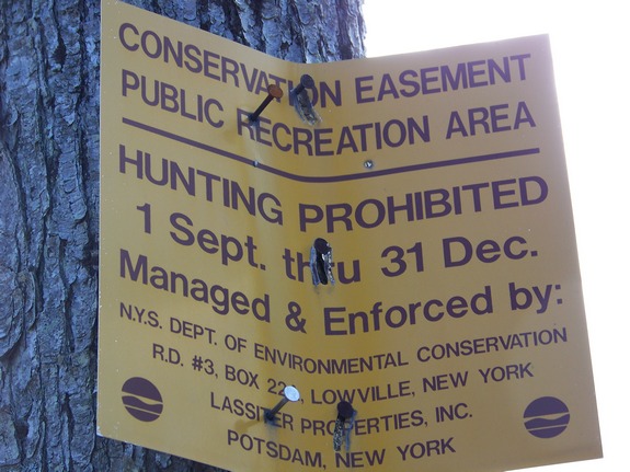
Note that the area you will be hiking is private land and posted,
but it is a Conservation Easement Public Recreation Area.
Public access is allowed along the river. Go past the gate
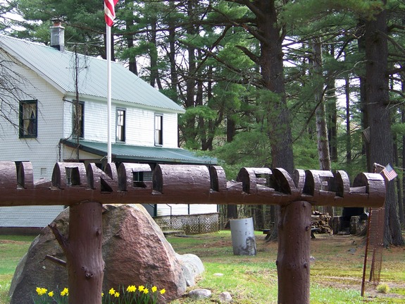
past the parking lot into an area known as Long Level and bear right.
The rapids you will come to at the bend in the river is Bisha Falls.
The West Branch of the Oswegatchie joins the main channel a few
miles downstream, just west of the hamlet of Talcville in the town
of Edwards. This then flows to the St. Lawrence River in Ogdensburg.
Last update: April 9, 2016
|