| Directions
From NY 3, a few miles west of the village of Star Lake,
proceed down the Browns Falls Road. About 1.6 miles
from the intersection, you will come to a bridge.
Park on the right just before the bridge.
|
| County: |
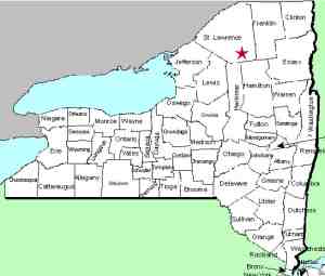
St. Lawrence |
| Town: |
Clifton |
| USGS Map: |
Oswegatchie |
| Waterway: |
Oswegatchie River |
| Latitude: |
N 44° 12'
53" |
| Longitude: |
W 75° 02'
52" |
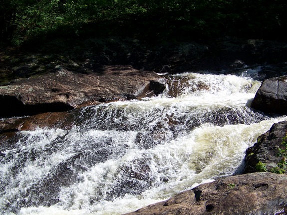
| Drop: |
~ 20' |
| Type: |
Slide |
| Region: |
Star Lake area |
| Parking: |
Roadside |
| Trail type: |
Dirt |
| Length of hike: |
1/2 mile, one-way |
| Difficulty: |
Easy |
| Accessibility: |
Public |
| Name: |
Official |
|
We have recently found out that this area is now posted, we
assume by Erie Boulevard Hydropower, a division of Brookfield
Power. They operate the hydro-electric facility there.
We have been told by some people that they have contacted them
and gotten permission to access the area.
The Browns Falls Road crosses a bridge
a short distance in from NY 3. This first bridge spans the
Little River. Do not stop here! Further up the road,
you will pass under some power lines and then there is a road on
the right. Just past here, you will pass over a penstock.
Just beyond this point, you should park on the right just before
the next bridge.
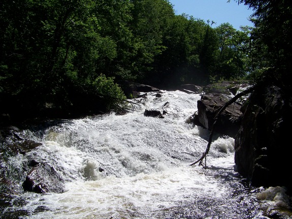
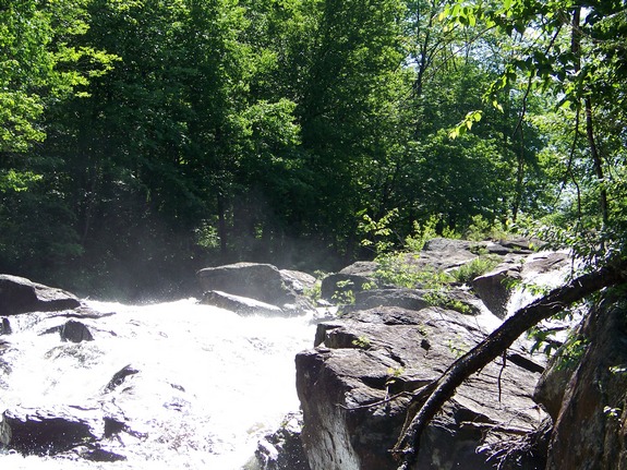
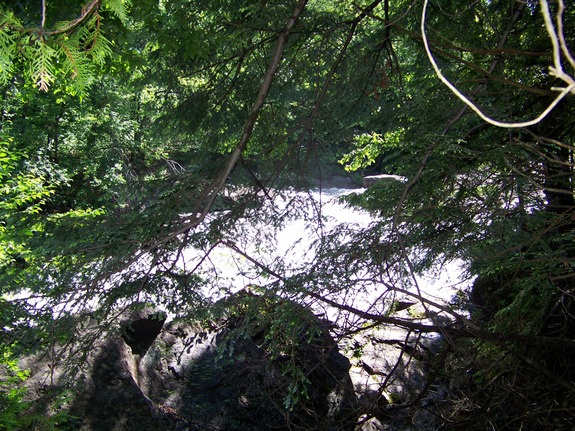
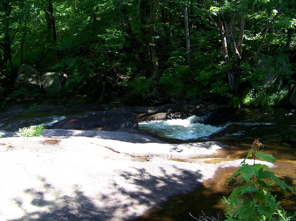
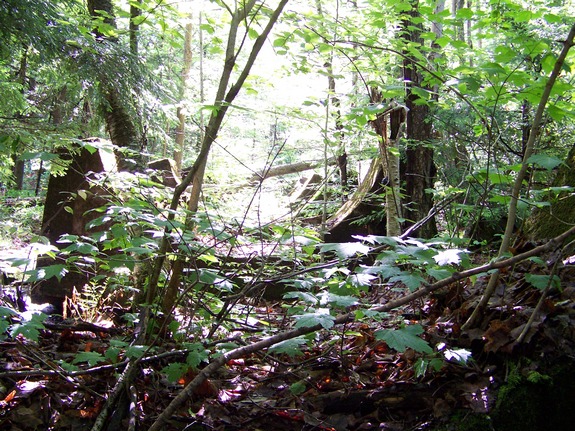
Browns Falls is a short hike off the road. Although not
maintained, a path is readily found to the right of the bridge.
It is also possible to proceed up a hill on the right to a cleared
area along the penstock. This is fine if you know where you
want to head down the slope to reach the river. Otherwise,
it is recommended that you hike along the bank above the river.
It is an easier walk coming out to follow the penstock, but make
sure you bear right coming out when you cross another clearing.
If you continue along the penstock, you will get back to the road
considerably up the road from where you parked.
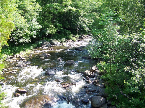
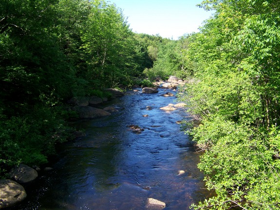
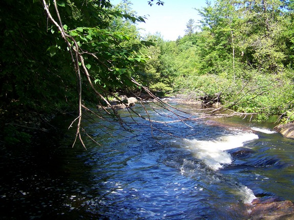
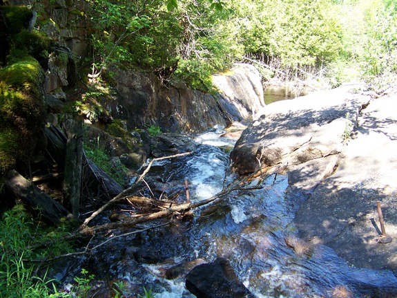
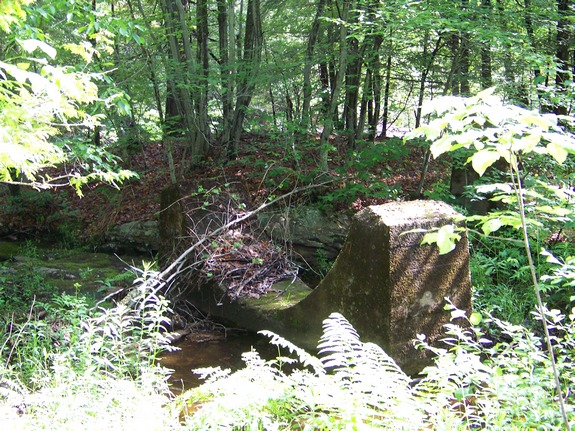
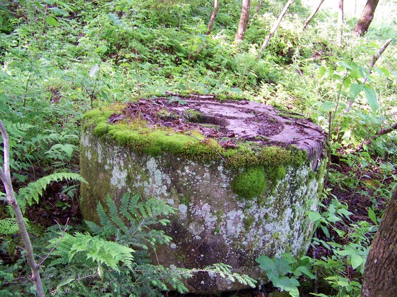
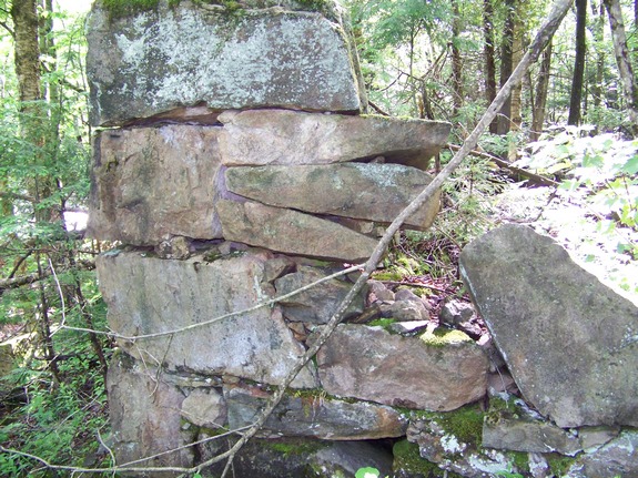
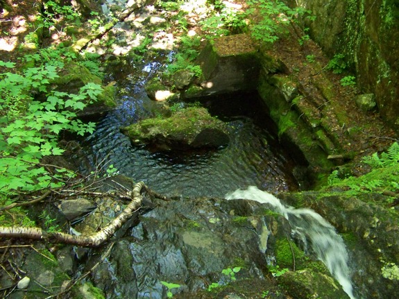
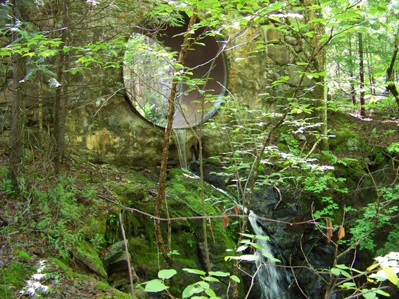
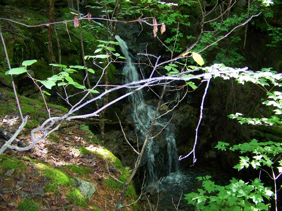
This is a very pretty stretch of the Oswegatchie River, but even
more impressive, at least from a historical perspective, are the
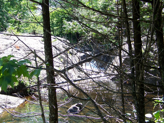
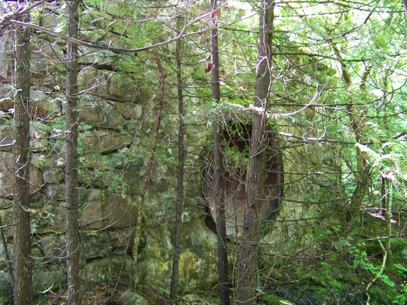
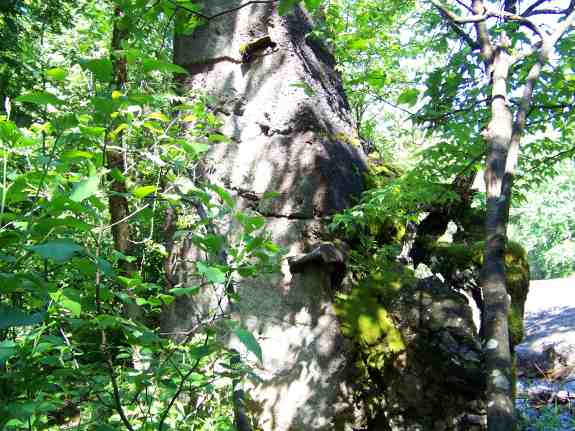
remains of an old mill of some type. You will find the old
foundation of the mill here, complete with the concrete cradles
that held the old penstock that carried water through it.
In fact, there was water flowing through it on the June day we were
there. We have a second set of thumbnails showing those remains.
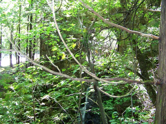
The old penstock ran parallel to the river at this point and
not far from it. In fact, you can see what appears to be a
temporary dam that may have been made to divert water when this
was built. Today, the penstock is much further "inland"
away from the main river channel. Today's penstock was built
around 1973. It is estimated that this section was built around
1830 and was abandoned around the era of WWI.
We have heard through the grapevine that there might be a movement
locally to do some kind of promotion and improvement of this area.
As a result of our Waterfall
Naming Project, Browns Falls was added to the Geographic Names
Information System data base on April 19, 2019.
The Oswegatchie River flows into the St. Lawrence River in Ogdensburg,
New York.
Last update: April 23, 2019
|