|
As indicated in the directions side-bar, unless one knows the
property owner here, the only access to this waterfall is by
water. The stretch from the hamlet of Edwards to the
village of Gouverneur is a fairly popular canoe trip.
There would be several points on this trip where you would have
to portage. This particular location is between the
Talcville Dam and the Emeryville Dam.
The falls at
Dodgeville would be one such portage for the casual canoeist.
Experienced kayakers would have no problem shooting this.
In fact, we know of inexperienced canoeists who have gone over
this drop, not intentially we might note!
This is actually a two-part waterfall. The river splits
around a fairly good size island. River left is the main
drop which has the remains of a dam that at one point existed.
As with many locations in the north country, there was a mill
here in the past that got its power from the river. A map
included in the booklet "Town of Fowler Bicentennial History
1807-2007" indicates that there was a sawmill operated by J.E.
Holcomb at this location. The map is dated 1865.
River right is a narrower channel with a collection of slides.
Our thanks to Bill Hill for the pictures of these drops.
He kayaks a number of waterways in this area often.
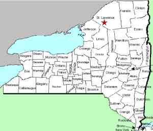
The Oswegatchie River flows into the St. Lawrence River in Ogdensburg,
New York.
As a side note, historical research has indicated that there
was once a Butternut Falls somewhere in this area. Its
exact location is unknown but we believe that it was at what is
now the Talcville Dam. Other theories are that Butternut
may have been the Dodgeville location or further downstream at
Hailesboro.
Last update: August 25, 2017
|