| Directions
From Ogdensburg, follow NY 812 about 3.1 from the
intersection with NY 12 and take a right on the Eel
Weir Road. Just before crossing the
Oswegatchie River, Lee Drive is on the right.
The powerhouse is at the end of this.
|
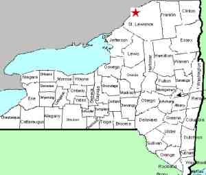
| County: |
St. Lawrence |
| Town: |
Oswegatchie |
| USGS Map: |
Ogdensburg
East |
| Waterway: |
Oswegatchie
River |
| Latitude: |
N 44°
38' 18" |
| Longitude: |
W 75°
29' 28" |
| Drop: |
NA |
| Type: |
Dam |
| Region: |
South of Ogdensburg |
| Parking: |
NA |
| Trail type: |
NA |
| Length of
hike: |
NA |
| Difficulty: |
NA |
| Accessibility: |
NA |
| Name: |
Common |
|
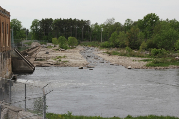
It is the policy of this website to also include power dams
within the region. This is done for the historical value
because very often, there was a waterfall at the location of the
dam before it was built.
In this case, we are not
certain that this is the case. Just upstream of this dam,
the Indian River joins the Oswegatchie. Black Lake is not
far from this junction. You can literally go for miles
upstream on either river without a significant elevation change.
Furthermore, the level above the dam is not that much higher
than that below it so it doesn't stand to reason that there was
enough of a drop in this area before the dam was built to
support a waterfall.
If anyone has any information on
this area, we would certainly be interested in
hearing from you.The Oswegatchie River flows into the St. Lawrence River in Ogdensburg,
New York.
Last update: May 27, 2016
|