| Directions
From the intersection of NY 3 and NY 58,
go west 1.5 miles on Route 3. You will come to
the Sykes Road on your right. Be advised this section
is dirt. If you go another 0.1 mile, there is
another access to the Sykes Road which is paved, but
not for long! Within a quarter mile or so,
the pavement ends. Follow this road until you
come to the first road that exits to the right.
The falls are actually at the end of this road, but
this is private land with a house on it. Continue
on the "main" road and you will come to a
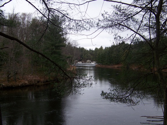
spot where the falls are visible from the road.
|
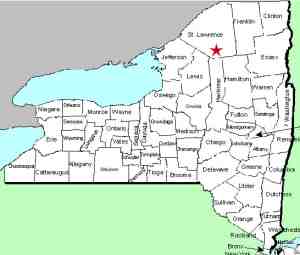
| County: |
St. Lawrence |
| Town: |
Fine |
| USGS Map: |
Fine |
| Waterway: |
Oswegatchie River |
| Latitude: |
44°
14' 21" |
| Longitude: |
75°
09' 42" |
| Drop: |
NA |
| Type: |
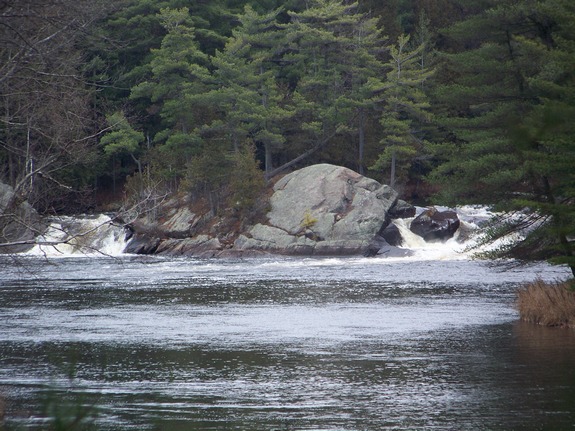
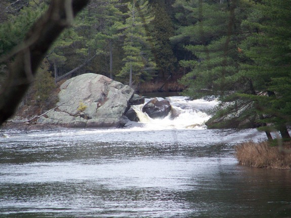
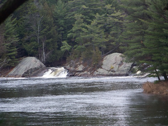
Curtain cascade |
| Region: |
Northeast of Harrisville |
| Parking: |
Roadside |
| Trail type: |
Roadside view |
| Length of hike: |
1 minute |
| Difficulty: |
Easy |
| Accessibility: |
Private |
| Name: |
Common |
|
This is an unnamed falls
which is not identified on USGS topographical maps. It is
known locally as Grease Falls. The origin of that name is
uncertain to the locals as is the spelling.
The Oswegatchie River flows into the St. Lawrence River in Ogdensburg,
New York.
Last update: April 23, 2016
|