| Directions
Just north of the Beaver River in Belfort,
head east on the Long Pond Road. After a few miles,
you will cross the "Blue Line" which means you
are in the Adirondack Forest Preserve. Shortly, you
will cross the river and on the left just past the bridge,
there is a parking area. This is a fishing access
site right next to these falls.
|
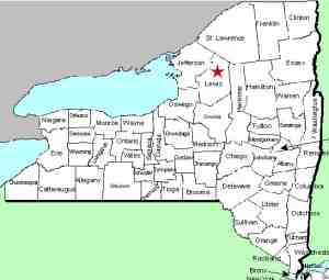
| County: |
Lewis |
| Town: |
Croghan |
| USGS Map: |
Stillwater |
| Waterway: |
Oswegatchie
River, West Branch |
| Latitude: |
43°
58' 34" |
| Longitude: |
75°
14' 06" |
| Drop: |
~25' |
| Type: |
Rectangular Cascade |
| Region: |
Northeast
of Croghan |
| Parking: |
Unpaved lot |
| Trail type: |
Dirt |
| Length of
hike: |
1 minute |
| Difficulty: |
Easy |
| Accessibility: |
Public |
| Name: |
Charted/Unnamed |
|
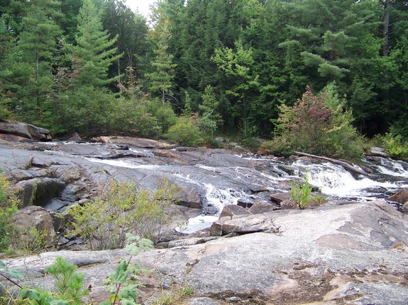
 This is an unnamed falls
which is identified on USGS topographical maps as "Rapids".
There is a parking area for a canoe access point. We have
dubbed it Grunerts Falls because it is right next to what was Grunerts
Camps and Inn. This facility is now closed but was a very
popular campground and restaurant for years at that location. This is an unnamed falls
which is identified on USGS topographical maps as "Rapids".
There is a parking area for a canoe access point. We have
dubbed it Grunerts Falls because it is right next to what was Grunerts
Camps and Inn. This facility is now closed but was a very
popular campground and restaurant for years at that location.
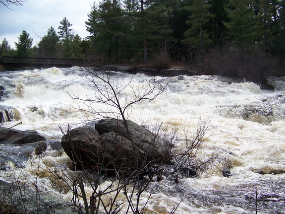
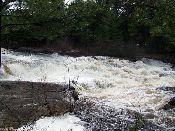
In the spring of the year, this area is a roaring torrent.
The Oswegatchie has its origin in the Adirondack heartland and the
river is a major route for the spring thaws as the mountains rid
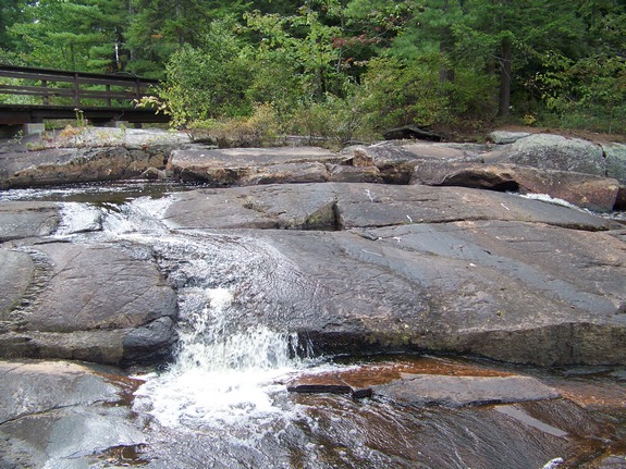
themselves of the major snows that occur there. By the end
of the summer, the current here slows considerably, as our pictures
show.
The Oswegatchie River flows into the St. Lawrence River in Ogdensburg,
New York.
Webmaster's note: There is a trail on the parking
lot side of the river that leads downstream about one-half mile
to Iowa Falls.
Last update: July 1, 2017
|