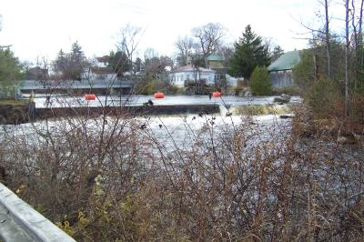
| Directions
On NY 58, a little over 1-1/4 miles
southeast of Gouverneur from the intersection of US
11 and NY 58, you will come to the Country Club Road,
where you should take a left. Continue after the stop sign
and
the road will "T" and a right will take you
over a bridge where you will see the dam on your left.
|
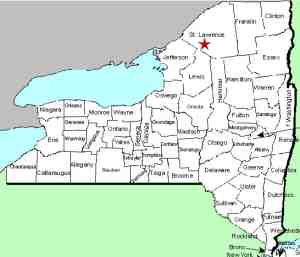
| County: |
St. Lawrence |
| Town: |
Fowler |
| USGS Map: |
Gouverneur |
| Waterway: |
Oswegatchie River |
| Latitude: |
N 44°
18' 41" |
| Longitude: |
W 75°
26' 40" |
| Drop: |
NA |
| Type: |
Dam |
| Region: |
NY 58 between
Gouverneur and Edwards |
| Parking: |
Roadside |
| Trail type: |
NA |
| Length of hike: |
NA |
| Difficulty: |
Easy |
| Accessibility: |
Private |
| Name: |
Common |
|
This location is on the
Island Branch Road in the hamlet of Hailesboro. There is a
power dam located at this site. The river splits at this point
around a very small island. On river left, the side away from
the road, there might be a waterfall of some type below the dam.
The property in this area is all private. We are working on
gaining access to it. The Oswegatchie River flows into the St. Lawrence River in Ogdensburg,
New York.
Last update: April 26, 2016
|