| Directions
From the intersection of US
11 and NY 58, take NY 58 southeast for about 1-1/4
mile. You will come to the Country Club Road.
Take a left and then a right on Main Street and you
will see the falls on the left, just upstream and across
from the Hailesboro Post Office.
|
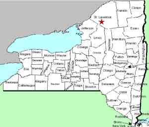
| County: |
St. Lawrence |
| Town: |
Fowler |
| USGS Map: |
Gouverneur |
| Waterway: |
Oswegatchie River |
| Latitude: |
N 44°
18' 35" |
| Longitude: |
W 75°
26' 40" |
| Drop: |
~ 6' |
| Type: |
Slide |
| Region: |
NY 58 between
Gouverneur and Edwards |
| Parking: |
Roadside |
| Trail type: |
NA |
| Length of hike: |
NA |
| Difficulty: |
Easy |
| Accessibility: |
Private |
| Name: |
Common |
|
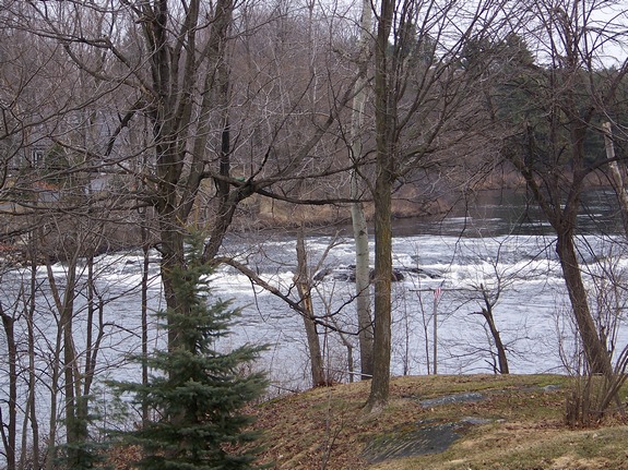
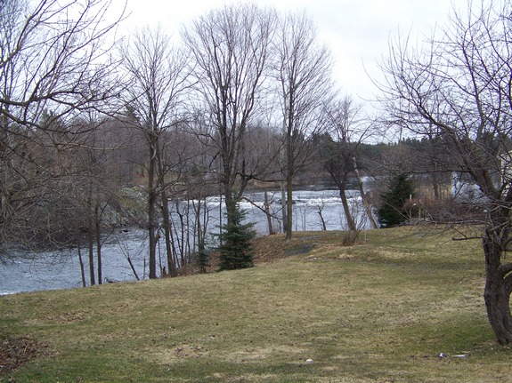
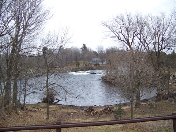
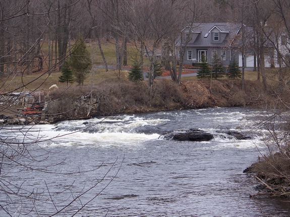
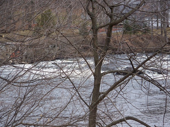
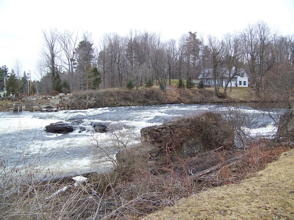
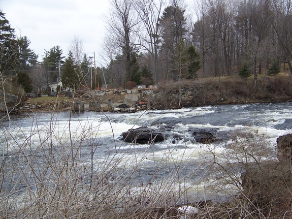
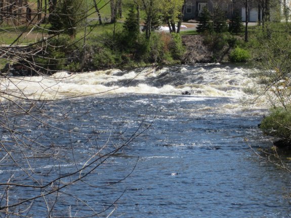
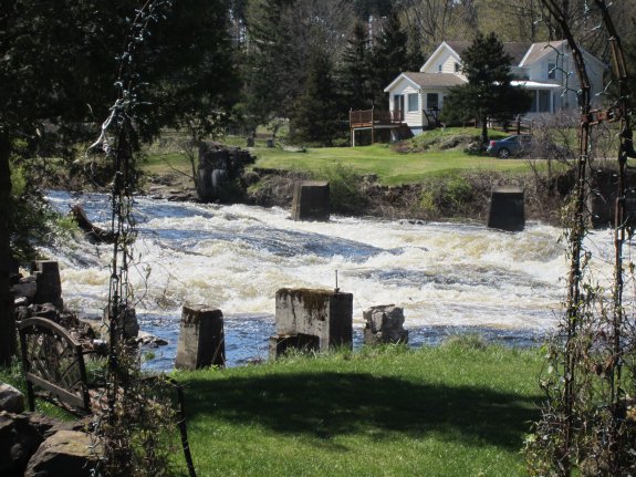
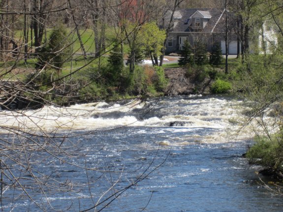
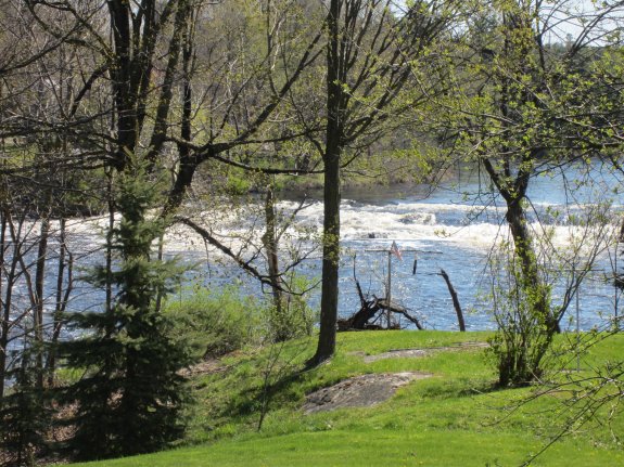
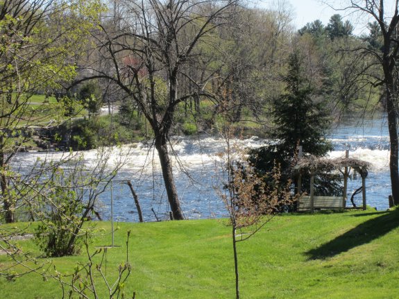
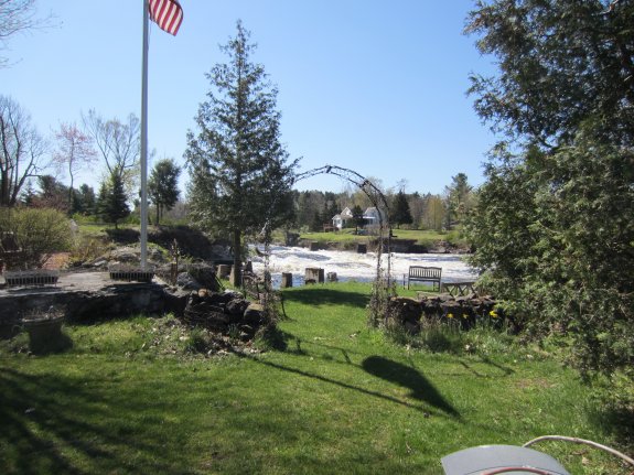
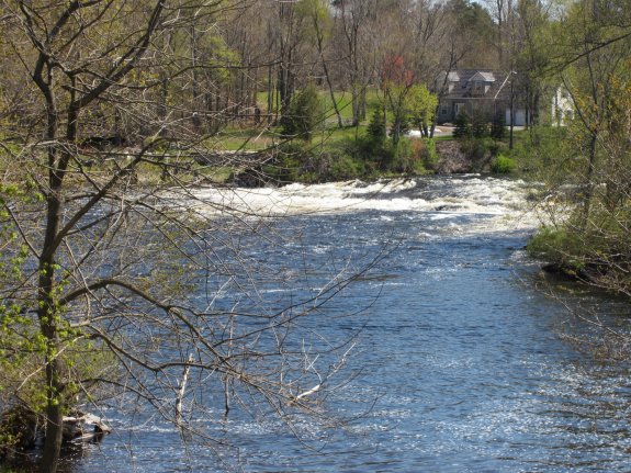
 Technically unnamed, these
falls are on the Oswegatchie River in the hamlet of Hailesboro.
In addition to the vicinity of the post office, they can also be
seen from the other side of the river but please note that the property
on both sides of the river are privately owned. Please respect
the owners' privacy. Technically unnamed, these
falls are on the Oswegatchie River in the hamlet of Hailesboro.
In addition to the vicinity of the post office, they can also be
seen from the other side of the river but please note that the property
on both sides of the river are privately owned. Please respect
the owners' privacy. The Oswegatchie River drops several times through this stretch
and there are a number of power dams on the river. This tiny
waterfall is nestled between two such dams, each of which are probably
a quarter of a mile in each direction.
Since it is located in the hamlet of Hailesboro, we have dubbed
it that. Hailesboro was originally spelled Hailesborough when
it was settled in the early 1800s. It was named in honor of
General James Haile, a Revolutionary War Army officer. He
was the first landowner in this area and built a sawmill and a grist
mill there. Since the late 1800s, this area has been known
for its talc, lead and zinc mining. Although that industry
is a mere image of what it once was, there is still some mining
in the area today.
The Oswegatchie River flows into the St. Lawrence River in Ogdensburg,
New York.
As a side note, it is known that at one point, there was a
Butternut Falls somewhere in this area, but its specific
location is still a mystery. One theory is that it was at
the current location of the Talcville Dam. Others
speculate that it was a former name of Hailesboro Falls or the
falls at Dodgevillle.
Last update: October 10, 2016
|